
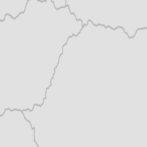
Image: Ablepharus chernovi range map
Description: Distributional range map of Ablepharus chernovi
Title: Ablepharus chernovi range map
Credit: Own work Species assessors:Varol Tok, Ishmail Ugurtas, Murat Sevinç, Wolfgang Böhme, Pierre-André Crochet, Göran Nilson, Ferdi Akarsu, Petros Lymberakis 2008. Ablepharus chernovi. In: IUCN 2010. IUCN Red List of Threatened Species. Version 2010.2. <www.iucnredlist.org>. Downloaded on 28 July 2010. Spatial data compiled by:IUCN
Author: GoEThe
Permission: The use of spatial data from the IUCN Red List web site to produce species distribution maps is subject to the Attribution-Share Alike Creative Commons License. In short: you are free to distribute and modify the file as long as you attribute its authors and the IUCN Red List.
Usage Terms: Creative Commons Attribution-Share Alike 3.0
License: CC BY-SA 3.0
License Link: https://creativecommons.org/licenses/by-sa/3.0
Attribution Required?: Yes
Image usage
The following page links to this image:
