
Image: Acadia map
Size of this preview: 421 × 600 pixels. Other resolutions: 168 × 240 pixels | 549 × 782 pixels.
Original image (549 × 782 pixels, file size: 60 KB, MIME type: image/jpeg)
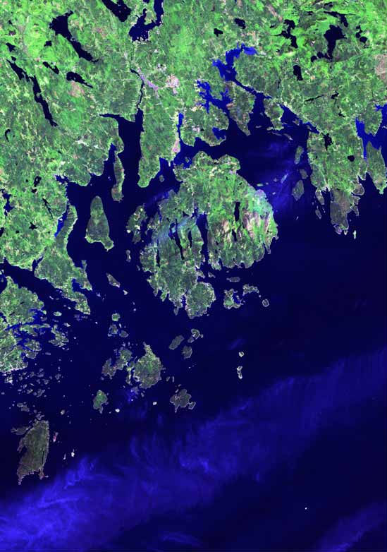
Description: Satellite image of Acadia National Park
Title: Acadia map
Credit: Satellite imagery from NASA and/or the US Geological Survey. Post-processing and production by Terra Prints Inc.
Author: http://www.terraprints.com
Usage Terms: Creative Commons Attribution 2.5
License: CC BY 2.5
License Link: https://creativecommons.org/licenses/by/2.5
Attribution Required?: Yes
Image usage
The following page links to this image:

All content from Kiddle encyclopedia articles (including the article images and facts) can be freely used under Attribution-ShareAlike license, unless stated otherwise.