
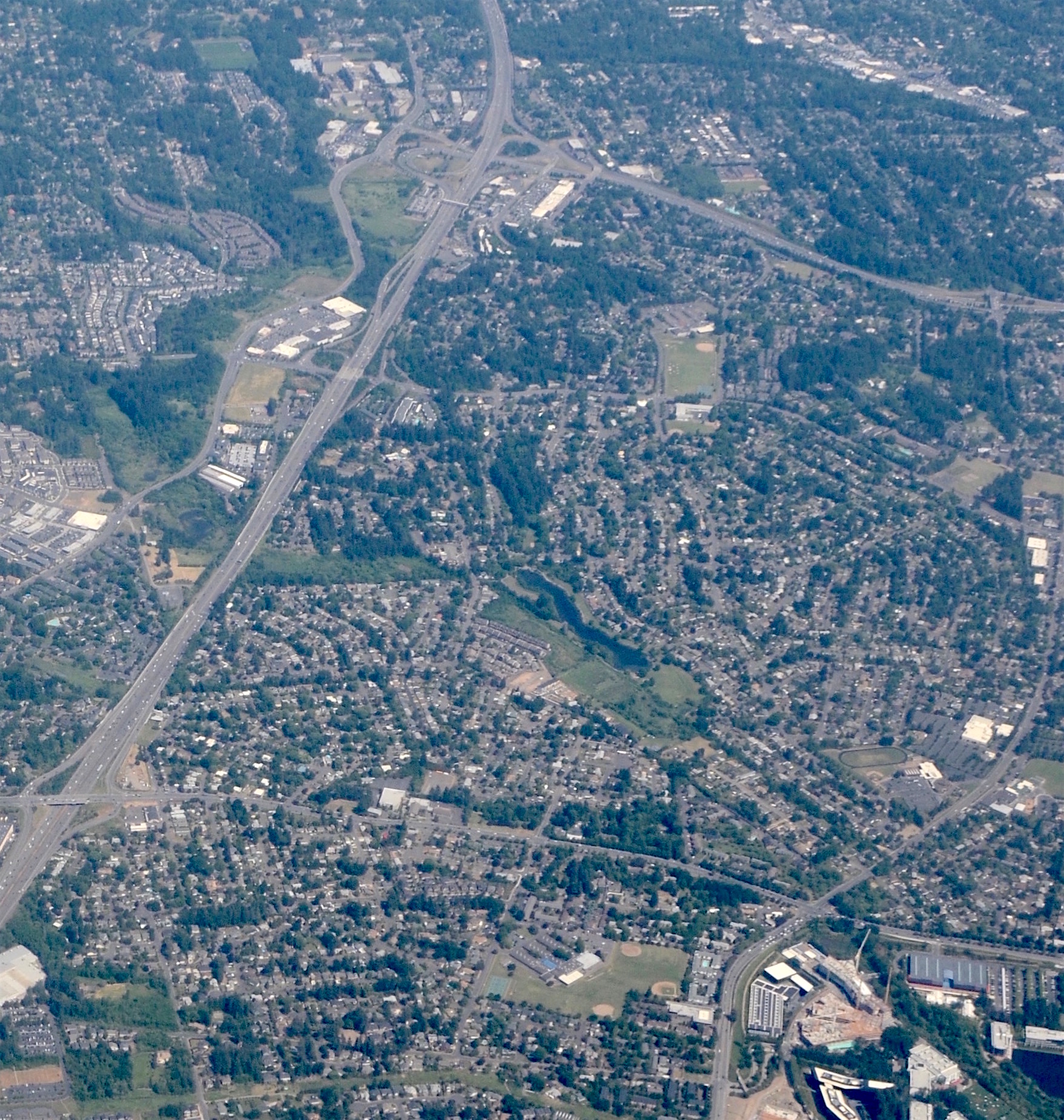
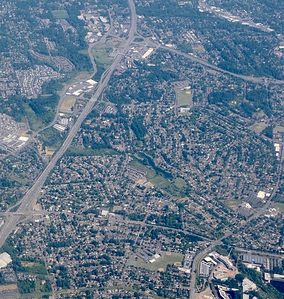
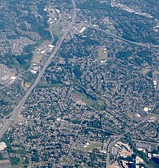
Image: Aerial of Cedar Hills and Marlene Village from west (2018)
Description: Aerial view of the unincorporated Cedar Hills and Marlene Village areas, in the westside suburbs of Portland, Oregon, from the west. Marlene Village is in the lower half of the frame, below (northeast and east of) Commonwealth Lake, which is near the center of the frame. Cedar Hills fills the central portion of the frame, above and to the right of the lake. The freeway at left is the Sunset Highway (U.S. 26), with its Murray Blvd. interchange in the lower left area. To its left (north), a small portion of the southern part of Cedar Mill is visible. Running left-to-right near the top of the frame is another freeway, Oregon Highway 217. Other points of interest are Meadow Park Middle School, near the bottom-center of the frame, and a small portion of the Nike World Headquarters campus, at the lower right corner.
Title: Aerial of Cedar Hills and Marlene Village from west (2018)
Credit: Own work
Author: Steve Morgan
Permission: See below; use must attribute the photographer on any reuse.
Usage Terms: Creative Commons Attribution-Share Alike 4.0
License: CC BY-SA 4.0
License Link: https://creativecommons.org/licenses/by-sa/4.0
Attribution Required?: Yes
Image usage
The following page links to this image:

.jpg)