
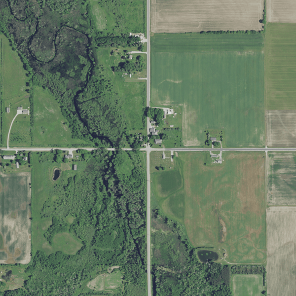
Image: Aerial view of Carnot and Stony Creek in southeastern town of Forestville, Door County, Wisconsin 2020 (cropped)

Description: Partial view of eastern town of Forestville and western town of Clay Banks, including the communities of Carnot and Vignes in Door County, Wisconsin, Wisconsin, taken June 27, 2020. Center Latitude 44°43'08.41"N Center Longitude 87°24'21.66"W NW Corner Lat 44°45'09.67"N NW Corner Long 87°26'28.59"W NE Corner Lat 44°45'10.57"N NE Corner Long 87°22'16.42"W SE Corner Lat 44°41'07.12"N SE Corner Long 87°22'14.87"W SW Corner Lat 44°41'06.22"N SW Corner Long 87°26'26.74"W
Title: Aerial view of Carnot and Stony Creek in southeastern town of Forestville, Door County, Wisconsin 2020 (cropped)
Credit: converted to .png by Epiphyllumlover from the original .tif available as item M_4408721_NE_16_060_20200627 on EarthExplorer
Author: Aerial Photography Field Office (APFO) for NAIP, USGS; in contract with the Surdex Corporation
Permission: Public domainPublic domainfalsefalse This image is a work of an employee of the United States Farm Security Administration or Office of War Information domestic photographic units, taken as part of that person's official duties. As a work of the U.S. federal government, the image is in the public domain in the United States. See Copyright.
Usage Terms: Public domain
License: Public domain
Attribution Required?: No
Image usage
The following page links to this image:

.png)