
Image: Aerial view of Heimaey, 2009-02-01
Size of this preview: 795 × 600 pixels. Other resolutions: 318 × 240 pixels | 846 × 638 pixels.
Original image (846 × 638 pixels, file size: 355 KB, MIME type: image/jpeg)
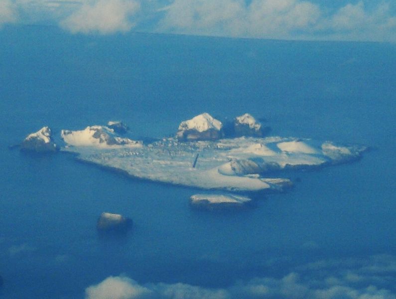
Description: Aerial view of Heimaey Island, its town, its X-shaped airport, and the two volcanoes Helgafell and Eldfell.
Author: Aerial_view_of_the_Westmen_Isles,_2009-02-01.jpg: Bruce McAdam
Camera location62° 55′ 41.37″ N, 20° 27′ 25.92″ W View this and other nearby images on: OpenStreetMap 62.928158; -20.457200
derivative work: Teofilo (talk)
Usage Terms: Creative Commons Attribution-Share Alike 3.0
License: CC-BY-SA-3.0
License Link: http://creativecommons.org/licenses/by-sa/3.0/
Attribution Required?: Yes
Image usage
The following page links to this image:

All content from Kiddle encyclopedia articles (including the article images and facts) can be freely used under Attribution-ShareAlike license, unless stated otherwise.