
Image: Aerial view of southeastern Linden, Tawa, Wellington, New Zealand

Size of this preview: 800 × 534 pixels. Other resolutions: 320 × 214 pixels | 7,360 × 4,912 pixels.
Original image (7,360 × 4,912 pixels, file size: 15.6 MB, MIME type: image/jpeg)
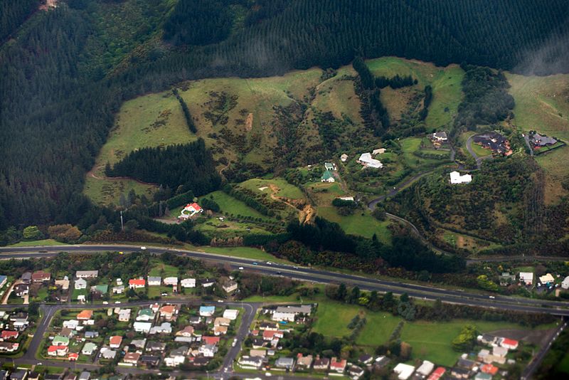
Description: Viewed from west. State Highway 1 (SH 1N) runs left to right. Below are some houses of Linden, and above is a hillside carved from a large forest with a few houses. Arthur Carman Park is at the lower right.
Title: Aerial view of southeastern Linden, Tawa, Wellington, New Zealand
Credit: https://www.flickr.com/photos/dcoetzee/9737999751/
Author: Chiara Coetzee
Usage Terms: Creative Commons Zero, Public Domain Dedication
License: CC0
License Link: http://creativecommons.org/publicdomain/zero/1.0/deed.en
Attribution Required?: No
Image usage
The following page links to this image:

All content from Kiddle encyclopedia articles (including the article images and facts) can be freely used under Attribution-ShareAlike license, unless stated otherwise.