
Image: AlbanyCounty Map 2

Size of this PNG preview of this SVG file: 766 × 594 pixels. Other resolution: 310 × 240 pixels.
Original image (SVG file, nominally 766 × 594 pixels, file size: 163 KB)
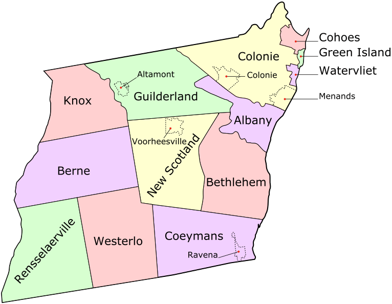
Description: Map of Albany County, New York, United States showing its constituent cities, towns, and villages
Title: AlbanyCounty Map 2
Credit: Own work
Author: UpstateNYer and ZooFari
Usage Terms: Creative Commons Attribution 3.0
License: CC BY 3.0
License Link: http://creativecommons.org/licenses/by/3.0
Attribution Required?: Yes
Image usage
The following page links to this image:

All content from Kiddle encyclopedia articles (including the article images and facts) can be freely used under Attribution-ShareAlike license, unless stated otherwise.