
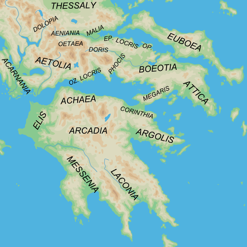
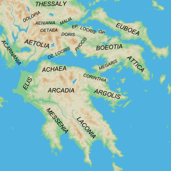
Image: Ancient Greek southern regions
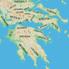
Size of this preview: 600 × 600 pixels. Other resolutions: 240 × 240 pixels | 800 × 800 pixels.
Original image (800 × 800 pixels, file size: 377 KB, MIME type: image/png)
Description: Map of the southern regions of Ancient Greece
Title: Ancient Greek southern regions
Credit: blank map from Map_greek_sanctuaries-en.svg by Marsyas Geographical information based on public domain map of Greece, from the Perry-Castañeda Library Map Collection, Historical Atlas by William R. Shepherd north, south
Author: original:Map_greek_sanctuaries-en.svg by Marsyas derivative work: MinisterForBadTimes (talk)
Usage Terms: Creative Commons Attribution-Share Alike 3.0
License: CC-BY-SA-3.0
License Link: http://creativecommons.org/licenses/by-sa/3.0/
Attribution Required?: Yes
Image usage
The following page links to this image:

All content from Kiddle encyclopedia articles (including the article images and facts) can be freely used under Attribution-ShareAlike license, unless stated otherwise.