
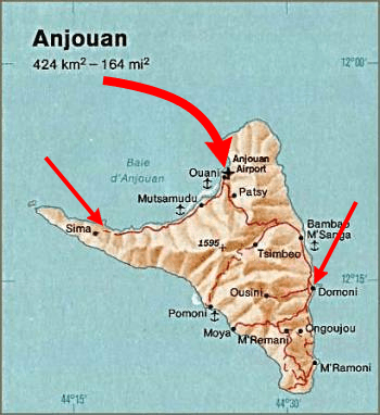
Image: Anjouan-invasion-2008
No higher resolution available.
Anjouan-invasion-2008.png (350 × 382 pixels, file size: 187 KB, MIME type: image/png)
Description: Map of invasion of Anjouan, 2008.
Title: Anjouan-invasion-2008
Credit: Derived from File:Anjouan (Comoros) map.jpg. CIA, The Indian Ocean Atlas, 1976.
Author: CIA & Brianski
Usage Terms: Public domain
License: Public domain
Attribution Required?: No
Image usage
The following page links to this image:

All content from Kiddle encyclopedia articles (including the article images and facts) can be freely used under Attribution-ShareAlike license, unless stated otherwise.