
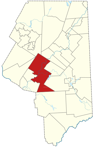
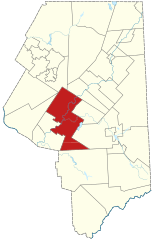
Image: Area Map of Lackawanna County, Scranton

Size of this PNG preview of this SVG file: 387 × 600 pixels. Other resolution: 155 × 240 pixels.
Original image (SVG file, nominally 3,550 × 5,500 pixels, file size: 104 KB)
Description: Area map of Scranton in Lackawanna County, Pennsylvania
Title: Area Map of Lackawanna County, Scranton
Credit: Adaptation of 1/50,000 USGS Geological Survey Map of Lackawanna County; based on 1/24,000 maps dated 1946 through 1965. This vector image was created with Inkscape.
Author: Fluous, USGS Geological Survey
Usage Terms: Public domain
License: Public domain
Attribution Required?: No
Image usage
The following page links to this image:

All content from Kiddle encyclopedia articles (including the article images and facts) can be freely used under Attribution-ShareAlike license, unless stated otherwise.