
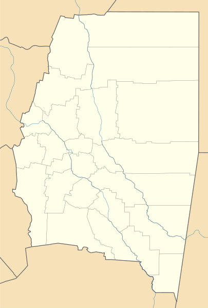
Image: Argentina Santiago del Estero location map

Size of this PNG preview of this SVG file: 405 × 599 pixels. Other resolution: 162 × 240 pixels.
Original image (SVG file, nominally 980 × 1,450 pixels, file size: 182 KB)
Description: Location map of Santiago de Estero province (Argentina)
Title: Argentina Santiago del Estero location map
Credit: This file was derived from: Argentina location map.svg Map of Santiago del Estero.svg
Author: Argentina_location_map.svg: NordNordWest Map_of_Santiago_del_Estero.svg: Pertile derivative work: Milenioscuro
Usage Terms: Creative Commons Attribution-Share Alike 3.0
License: CC BY-SA 3.0
License Link: https://creativecommons.org/licenses/by-sa/3.0
Attribution Required?: Yes
Image usage
The following 2 pages link to this image:

All content from Kiddle encyclopedia articles (including the article images and facts) can be freely used under Attribution-ShareAlike license, unless stated otherwise.