
Image: Arrowsmith Oregon Country

Size of this preview: 523 × 600 pixels. Other resolutions: 209 × 240 pixels | 2,552 × 2,926 pixels.
Original image (2,552 × 2,926 pixels, file size: 1.65 MB, MIME type: image/jpeg)
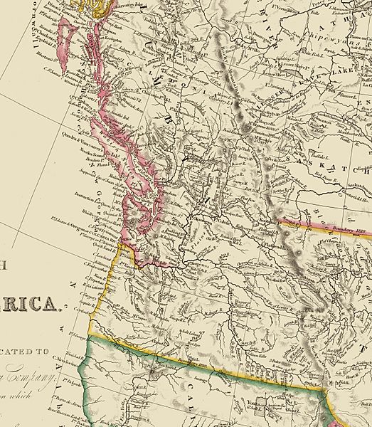
Description: A crop of a map of British North America (Canada) drawn in 1844 by John Arrowsmith, showing the Oregon Territory.
Title: Arrowsmith Oregon Country
Credit: 13 MB SID file from the David Rumsey Map Collection
Author: John Arrowsmith (1780 – 1873)
Usage Terms: Public domain
License: Public domain
Attribution Required?: No
Image usage
The following page links to this image:

All content from Kiddle encyclopedia articles (including the article images and facts) can be freely used under Attribution-ShareAlike license, unless stated otherwise.