Image: Ashwood - DPLA - de9fa5cfaeb31211673cb8b7d2730ade

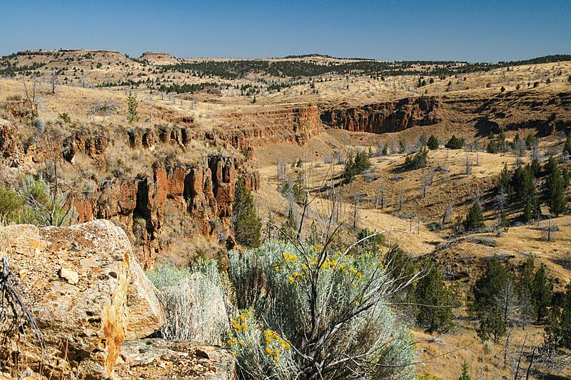
Description: Rock formations on road to Ashwood. Jefferson County
Title: Ashwood
Credit: This file was contributed to Wikimedia Commons by Oregon State Archives as part of a cooperation project. The donation was facilitated by the Digital Public Library of America, via its partner Northwest Digital Heritage. Record in source catalog DPLA identifier: de9fa5cfaeb31211673cb8b7d2730ade Oregon State Archives identifier: 20050812-0694
Permission: .mw-parser-output .responsive-license-cc{clear:both;text-align:center;box-sizing:border-box;width:100%;justify-content:space-around;align-items:center;margin:0.5em auto;color:var(--color-base,#202122);background-color:var(--background-color-neutral-subtle,#f9f9f9);border-width:2px;border-style:solid;border-top-color:var(--border-color-subtle,#e0e0e0);border-right-color:var(--border-color-subtle,#e0e0e0);border-bottom-color:var(--border-color-subtle,#e0e0e0);border-left-color:var(--border-color-subtle,#e0e0e0);border-spacing:8px;display:flex}.mw-parser-output .responsive-license-cc div{margin:4px}.mw-parser-output .rlicense-text div{margin:0.5em auto}@media screen and (max-width:640px){.mw-parser-output .responsive-license-cc{flex-flow:column}.mw-parser-output .rlicense-text{order:1}} This file is licensed under the Creative Commons Attribution 4.0 International license. You are free: to share – to copy, distribute and transmit the work to remix – to adapt the work Under the following conditions: attribution – You must give appropriate credit, provide a link to the license, and indicate if changes were made. You may do so in any reasonable manner, but not in any way that suggests the licensor endorses you or your use. https://creativecommons.org/licenses/by/4.0CC BY 4.0 Creative Commons Attribution 4.0 truetrue
Usage Terms: Creative Commons Attribution 4.0
License: CC BY 4.0
License Link: https://creativecommons.org/licenses/by/4.0
Attribution Required?: Yes
Image usage
The following page links to this image:

