
Image: Atlas Van der Hagen - Reino de Benguela
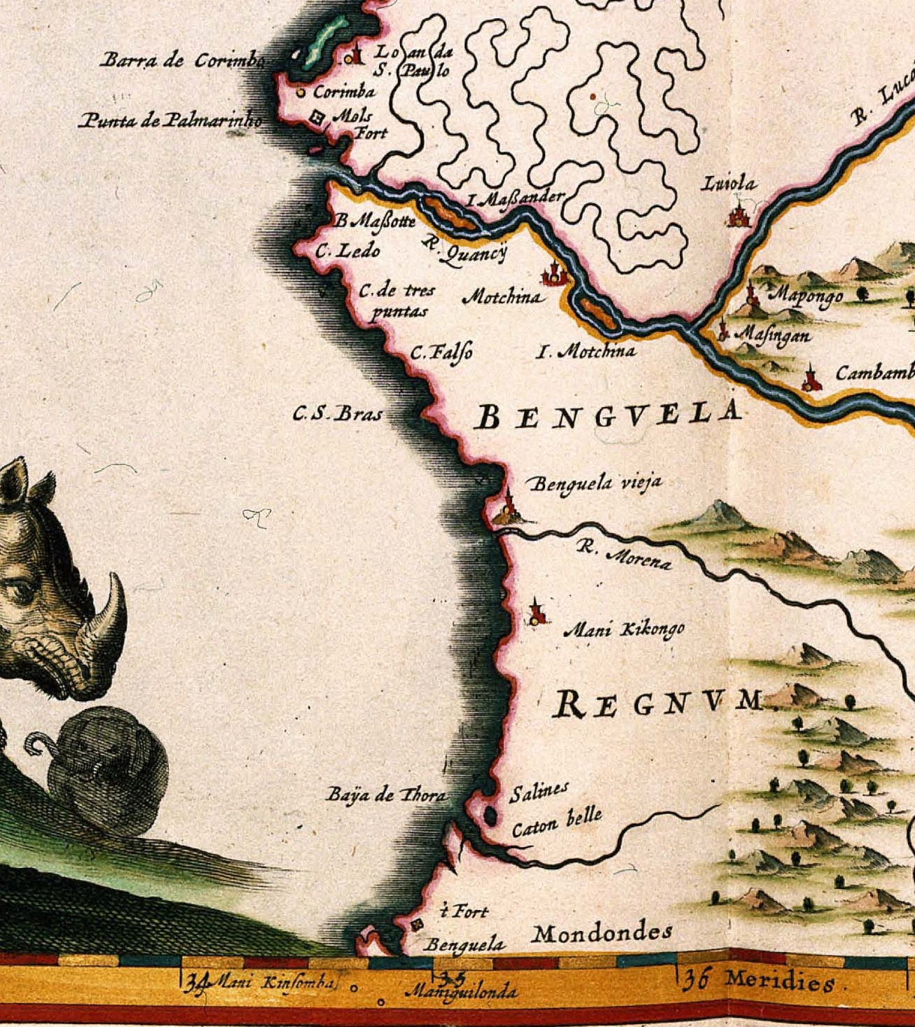
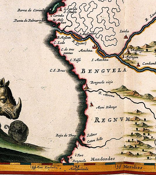
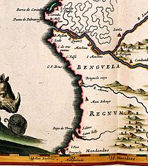
Description: In his Atlas Maior, published in 1662 in 11 volumes, Joan Blaeu (1598-1673) included 7 new maps of Afric. Blaeus sources for these maps are unknown. However, we do know the source for the lower Zaire river. Blaeu probable created the map after information from the Dutch explorer Jan van Herden.
Title: REGNA CONGO et ANGOLA
Credit: This media file is from the collections of the Koninklijke Bibliotheek, part of which is available on Wikimedia Commons.
Author: Dirck Jansz van Santen
Permission: Public domainPublic domainfalsefalse The author died in 1673, so this work is in the public domain in its country of origin and other countries and areas where the copyright term is the author's life plus 100 years or fewer. This work is in the public domain in the United States because it was published (or registered with the U.S. Copyright Office) before January 1, 1926. This file has been identified as being free of known restrictions under copyright law, including all related and neighboring rights. https://creativecommons.org/publicdomain/mark/1.0/PDMCreative Commons Public Domain Mark 1.0falsefalse
Usage Terms: Public domain
License: Public domain
Attribution Required?: No
Image usage
The following page links to this image:
