
Image: BC&A MD&V 1906 Map
Size of this preview: 407 × 600 pixels. Other resolutions: 163 × 240 pixels | 4,214 × 6,212 pixels.
Original image (4,214 × 6,212 pixels, file size: 12.34 MB, MIME type: image/jpeg)
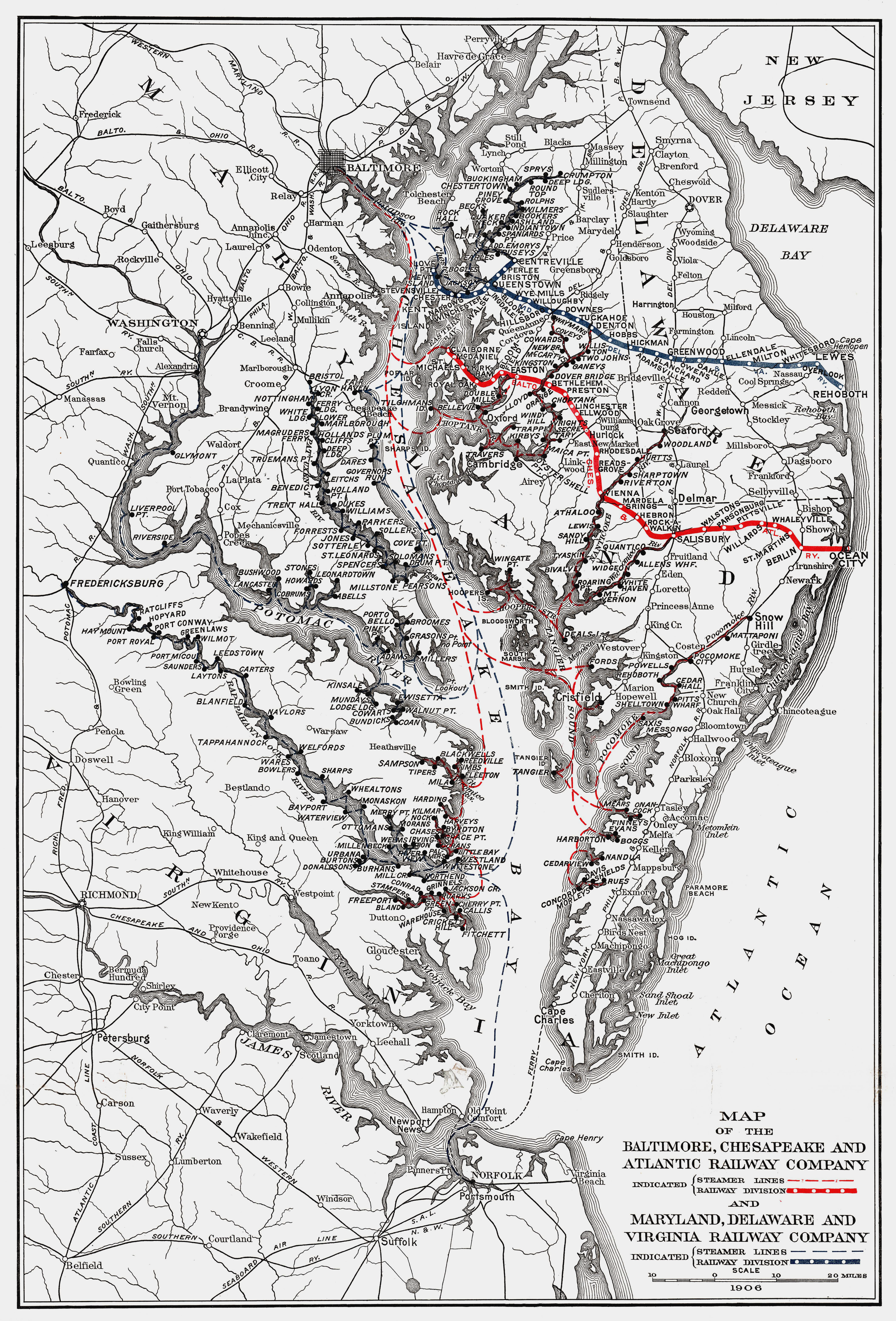
Description: Map of the Baltimore, Chesapeake and Atlantic Railway Company from 1906
Title: BC&A MD&V 1906 Map
Credit: Standard and Poors manual 1906, digitized by Library of Congress
Author: Commercial, Anon.
Usage Terms: Public domain
License: Public domain
Attribution Required?: No
Image usage
The following page links to this image:

All content from Kiddle encyclopedia articles (including the article images and facts) can be freely used under Attribution-ShareAlike license, unless stated otherwise.