
Image: Barbados location map

Size of this PNG preview of this SVG file: 539 × 599 pixels. Other resolution: 216 × 240 pixels.
Original image (SVG file, nominally 1,205 × 1,339 pixels, file size: 125 KB)
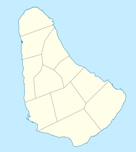
Description: Location map of Barbados. Geographic limits of the map: N: 13.349° N S: 13.034° N W: 59.690° W E: 59.399° W
Title: Barbados location map
Credit: Own work, using OpenStreetMap Data for the form of the island File:Barbados parishes numbered.png by Golbez for the borders of the parishes
Author: Graphic made by Carport
Usage Terms: Creative Commons Attribution-Share Alike 2.0
License: CC BY-SA 2.0
License Link: https://creativecommons.org/licenses/by-sa/2.0
Attribution Required?: Yes
Image usage
The following 3 pages link to this image:

All content from Kiddle encyclopedia articles (including the article images and facts) can be freely used under Attribution-ShareAlike license, unless stated otherwise.