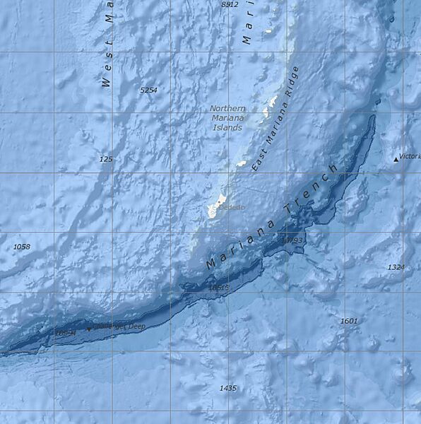
Image: Bathymetric map of Guam

Size of this preview: 596 × 600 pixels. Other resolutions: 238 × 240 pixels | 2,058 × 2,071 pixels.
Original image (2,058 × 2,071 pixels, file size: 367 KB, MIME type: image/jpeg)
Description: Bathymetric map screenshot of the NOAA Marine Geology Data visualizer, showing the immediate vicinity of Guam. Features named include the Mariana Trench, East Mariana Ridge, and Challenger Deep. Features indicated but not named are Sirena Deep, directly south of Guam, and Nero Deep. From Version 2.72. of Marine Geology Data, last updated 10/2/2020.
Title: Bathymetric map of Guam
Credit: https://maps.ngdc.noaa.gov/viewers/marine_geology/, selection and crop by uploader
Author: National Centers for Environmental Information, NOAA
Usage Terms: Public domain
License: Public domain
Attribution Required?: No
Image usage
The following page links to this image:

All content from Kiddle encyclopedia articles (including the article images and facts) can be freely used under Attribution-ShareAlike license, unless stated otherwise.
