
Image: BattleOfStLouis
Size of this preview: 382 × 599 pixels. Other resolutions: 153 × 240 pixels | 1,024 × 1,607 pixels.
Original image (1,024 × 1,607 pixels, file size: 1.37 MB, MIME type: image/png)
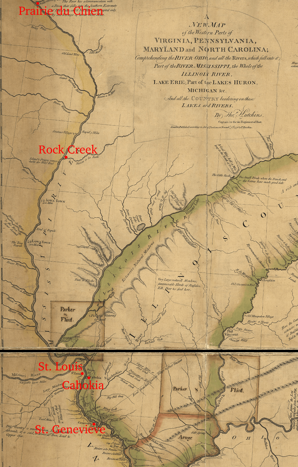
Description: Detail of a 1778 map annotated to show points of interest in the Battle of St. Louis.
Title: BattleOfStLouis
Credit: This map is available from the United States Library of Congress's Geography & Map Division under the digital ID g3707o.ar078900. This tag does not indicate the copyright status of the attached work. A normal copyright tag is still required. See Commons:Licensing for more information.
Author: base map: Thomas Hutchins (d. 1789); annotations: User:Magicpiano
Usage Terms: Public domain
License: Public domain
Attribution Required?: No
Image usage
The following page links to this image:

All content from Kiddle encyclopedia articles (including the article images and facts) can be freely used under Attribution-ShareAlike license, unless stated otherwise.