
Image: Battle of Coconut Grove Bougainville map
Size of this preview: 800 × 528 pixels. Other resolutions: 320 × 211 pixels | 1,000 × 660 pixels.
Original image (1,000 × 660 pixels, file size: 117 KB, MIME type: image/jpeg)
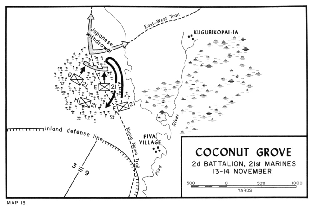
Description: Map depicting the fighting around Coconut Grove, Bougainville, 13-14 November 1943
Title: Battle of Coconut Grove Bougainville map
Credit: Shaw, Henry I. and Douglas T. Kane (1963) Volume II: Isolation of Rabaul, p. 242. Archived from the original on 20 November 2006.
Author: Historical Branch, G-3 Division, Headquarters, U.S. Marine Corps
Permission: This file is a work of a United States Marine or employee, taken or made as part of that person's official duties. As a work of the U.S. federal government, it is in the public domain.
Usage Terms: Public domain
License: Public domain
Attribution Required?: No
Image usage
The following page links to this image:

All content from Kiddle encyclopedia articles (including the article images and facts) can be freely used under Attribution-ShareAlike license, unless stated otherwise.