
Image: Battle of Ordal map
Size of this preview: 336 × 600 pixels. Other resolutions: 134 × 240 pixels | 577 × 1,030 pixels.
Original image (577 × 1,030 pixels, file size: 150 KB, MIME type: image/jpeg)
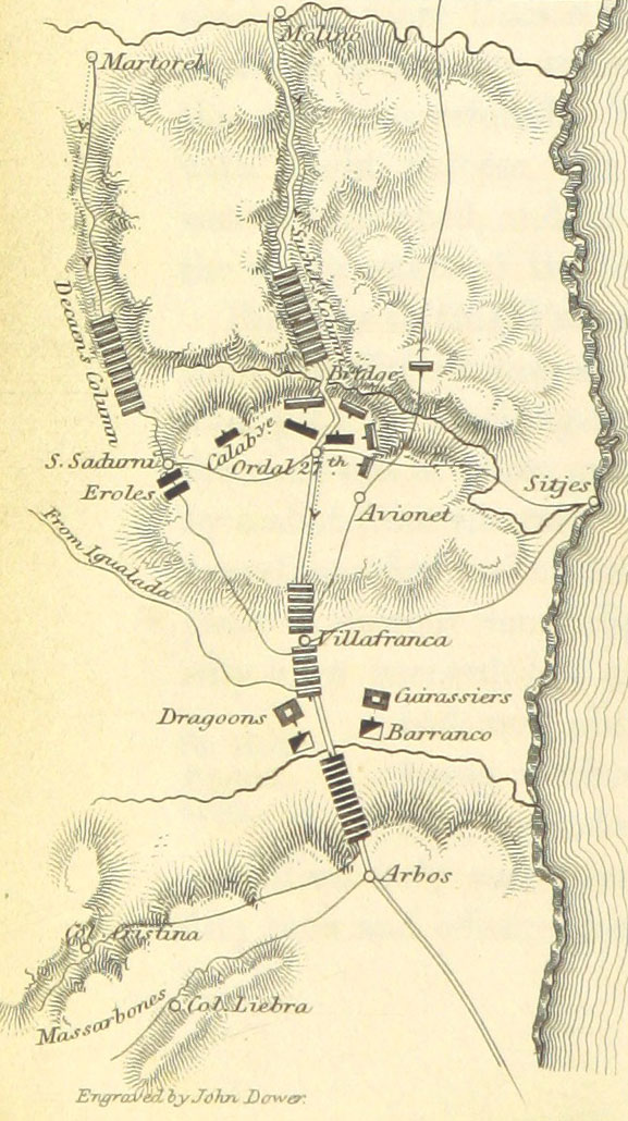
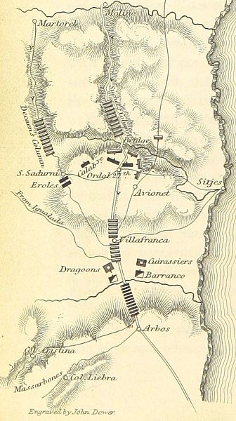
Description: A map of the 1813 en:Battle of Ordal during the Peninsular Campaign. British and Spanish troops are in black; French troops are in gray.
Title: Battle of Ordal map
Credit: This file has been provided by the British Library from its digital collections.
Author: William Francis Patrick Napier (Book author)
Usage Terms: Public domain
License: Public domain
Attribution Required?: No
Image usage
The following page links to this image:

All content from Kiddle encyclopedia articles (including the article images and facts) can be freely used under Attribution-ShareAlike license, unless stated otherwise.