
Image: Bjornoya Location Map-en

Size of this PNG preview of this SVG file: 478 × 600 pixels. Other resolution: 191 × 240 pixels.
Original image (SVG file, nominally 1,010 × 1,267 pixels, file size: 242 KB)
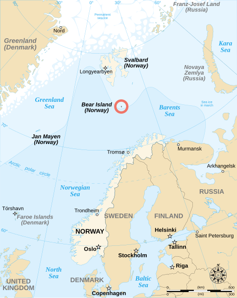
Description: English map showing the location of Bear Island (Bjørnøya), a Norwegian island between Norway and Svalbard.
Title: Bjornoya Location Map-en
Credit: Image:Bjornoya map.png Image:Arctic big.svg Image:Barents 1942.svg
Author: Sémhur
Usage Terms: Creative Commons Attribution-Share Alike 4.0
License: CC BY-SA 4.0
License Link: https://creativecommons.org/licenses/by-sa/4.0
Attribution Required?: Yes
Image usage
The following 3 pages link to this image:

All content from Kiddle encyclopedia articles (including the article images and facts) can be freely used under Attribution-ShareAlike license, unless stated otherwise.