
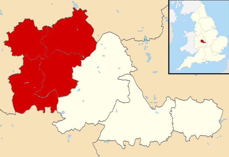
Image: Black Country UK locator map
No higher resolution available.
Black_Country_UK_locator_map.png (797 × 546 pixels, file size: 34 KB, MIME type: image/png)
Description: Map of the West Midlands, UK with the Black Country highlighted. Equirectangular map projection on WGS 84 datum, with N/S stretched 160%
Title: Black Country UK locator map
Credit: Ordnance Survey OpenData. Most data from Boundary-Line product. Lake data from Meridian 2 product. Inset derived from England location map.svg by Spischot.
Author: Rcsprinter123, created using Ordnance Survey data
Usage Terms: Creative Commons Attribution-Share Alike 3.0
License: CC BY-SA 3.0
License Link: https://creativecommons.org/licenses/by-sa/3.0
Attribution Required?: Yes
Image usage
The following page links to this image:

All content from Kiddle encyclopedia articles (including the article images and facts) can be freely used under Attribution-ShareAlike license, unless stated otherwise.