
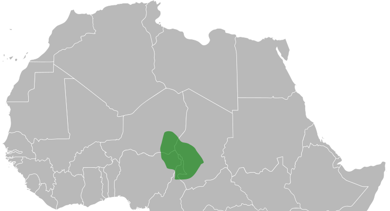
Image: Bornu map 1750

Size of this PNG preview of this SVG file: 800 × 533 pixels. Other resolution: 320 × 213 pixels.
Original image (SVG file, nominally 900 × 600 pixels, file size: 152 KB)
Description: Map of the Bornu Empire as it was c.1750.
Title: Bornu map 1750
Credit: Own work, svg version of Bornu locator 1750.png
Author: ArnoldPlaton
Usage Terms: Creative Commons Attribution-Share Alike 3.0
License: CC BY-SA 3.0
License Link: http://creativecommons.org/licenses/by-sa/3.0
Attribution Required?: Yes
Image usage
The following 2 pages link to this image:

All content from Kiddle encyclopedia articles (including the article images and facts) can be freely used under Attribution-ShareAlike license, unless stated otherwise.