
Image: Braun & Hogenberg Ostend 1601

Size of this preview: 782 × 600 pixels. Other resolutions: 313 × 240 pixels | 2,800 × 2,147 pixels.
Original image (2,800 × 2,147 pixels, file size: 1.95 MB, MIME type: image/jpeg)
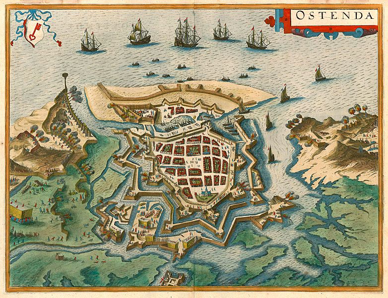
Description: Siege of Ostend (1601-1604) in an early stage. Map by Braun & Hogenberg. Date of the first edition: 1617 Date of this map: c. 1625.
Title: Braun & Hogenberg Ostend 1601
Credit: https://www.sanderusmaps.com/en/our-catalogue/detail/165849/antique-map-bird%27s-eye-plan-of-ostend-by-braun-and-hogenberg/
Author: Braun & Hogenberg
Usage Terms: Public domain
License: Public domain
Attribution Required?: No
Image usage
The following page links to this image:

All content from Kiddle encyclopedia articles (including the article images and facts) can be freely used under Attribution-ShareAlike license, unless stated otherwise.