
Image: British Irish isles
Size of this preview: 343 × 599 pixels. Other resolutions: 137 × 240 pixels | 1,276 × 2,230 pixels.
Original image (1,276 × 2,230 pixels, file size: 131 KB, MIME type: image/png)
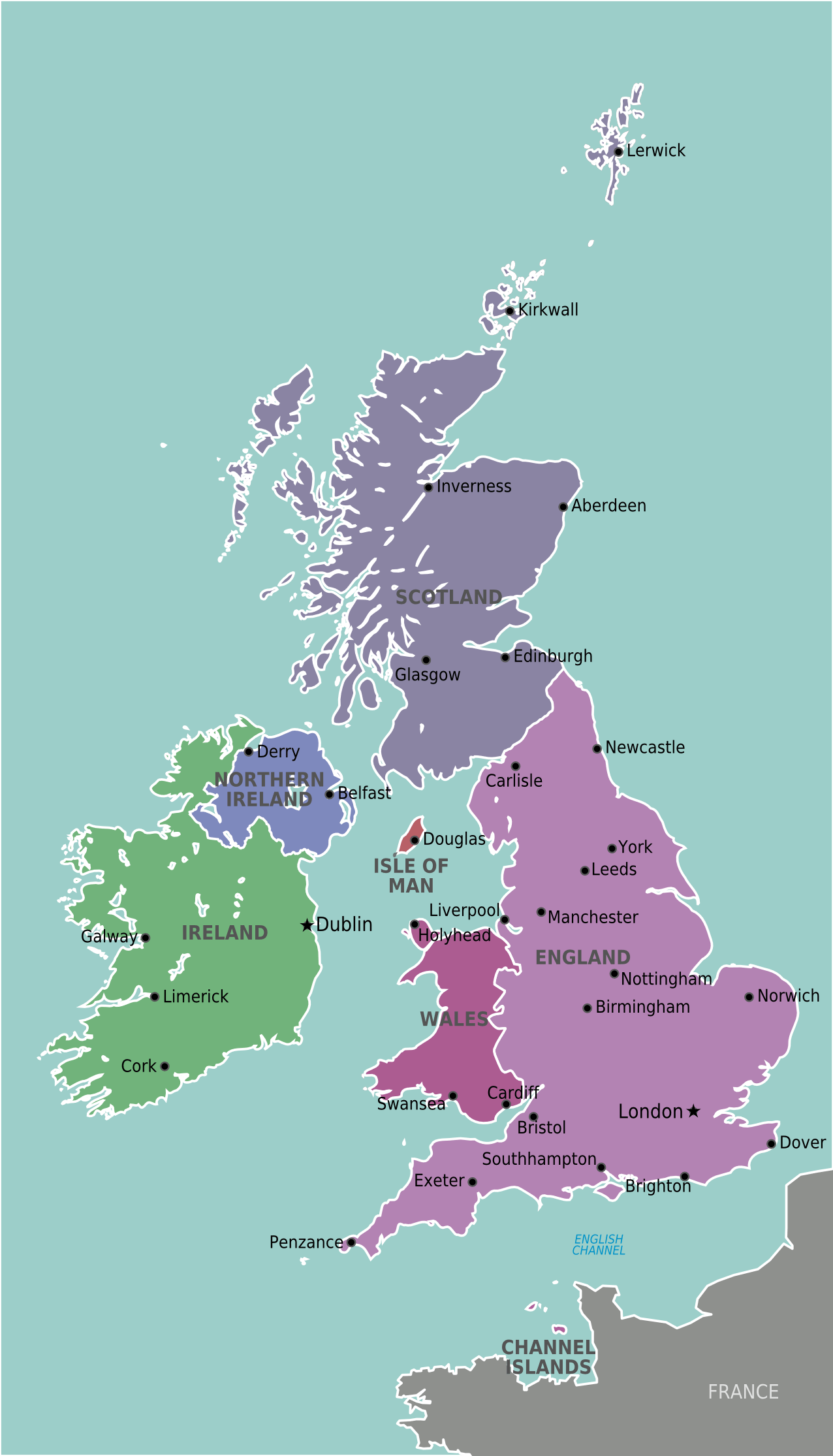
Description: Map of The British & Irish Isles for use on Wikivoyage, English version
Title: British Irish isles
Credit: Own work based on the map of UK
Author: Stefan Ertmann, amendments by Peterfitzgerald
Usage Terms: Creative Commons Attribution-Share Alike 4.0
License: CC BY-SA 4.0
License Link: https://creativecommons.org/licenses/by-sa/4.0
Attribution Required?: Yes
Image usage
The following 2 pages link to this image:

All content from Kiddle encyclopedia articles (including the article images and facts) can be freely used under Attribution-ShareAlike license, unless stated otherwise.