
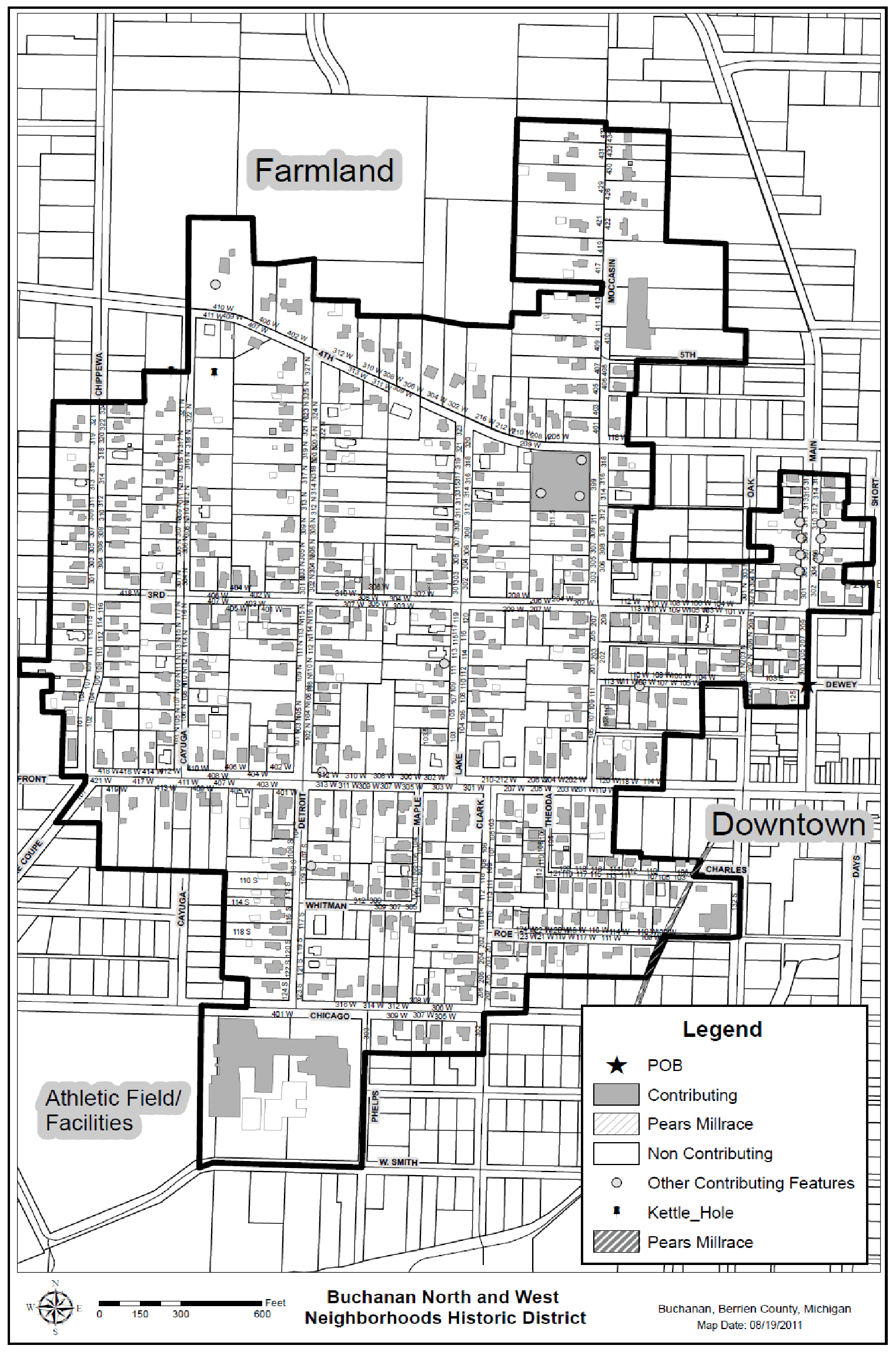
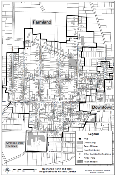
Image: Buchanan North and West Historic District Map
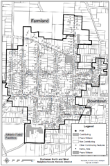
Size of this preview: 397 × 599 pixels. Other resolutions: 159 × 240 pixels | 1,524 × 2,300 pixels.
Original image (1,524 × 2,300 pixels, file size: 636 KB, MIME type: image/png)
Description: A black and white street map of a portion of Buchanan, Mich. with district boundaries shown.
Title: Buchanan North and West Historic District Map
Credit: https://www.preservebuchanan.org/resources
Author: Buchanan Preservation Society
Usage Terms: Public domain
License: Public domain
Attribution Required?: No
Image usage
The following page links to this image:

All content from Kiddle encyclopedia articles (including the article images and facts) can be freely used under Attribution-ShareAlike license, unless stated otherwise.