
Image: ByresSaintVincent
Size of this preview: 405 × 600 pixels. Other resolutions: 162 × 240 pixels | 1,200 × 1,777 pixels.
Original image (1,200 × 1,777 pixels, file size: 640 KB, MIME type: image/jpeg)
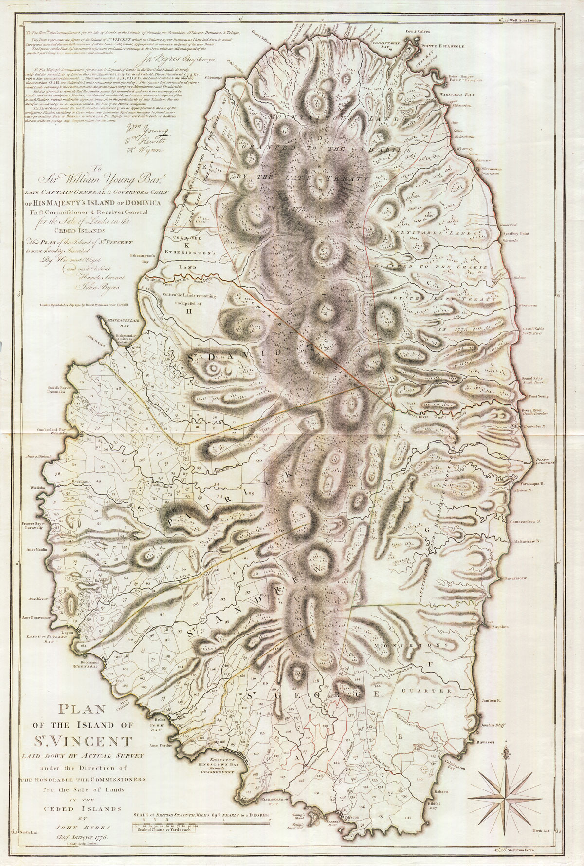
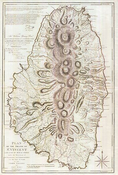
Description: A 1776 map of the Caribbean isle of Saint Vincent. The southern portion of the island was under British control, and the northern portion was under the control of the Black Caribs.
Title: ByresSaintVincent
Credit: http://www.pennymead.com/featured.php?coun=st%20vincent
Author: John Byres
Usage Terms: Public domain
License: Public domain
Attribution Required?: No
Image usage
The following 2 pages link to this image:

All content from Kiddle encyclopedia articles (including the article images and facts) can be freely used under Attribution-ShareAlike license, unless stated otherwise.