
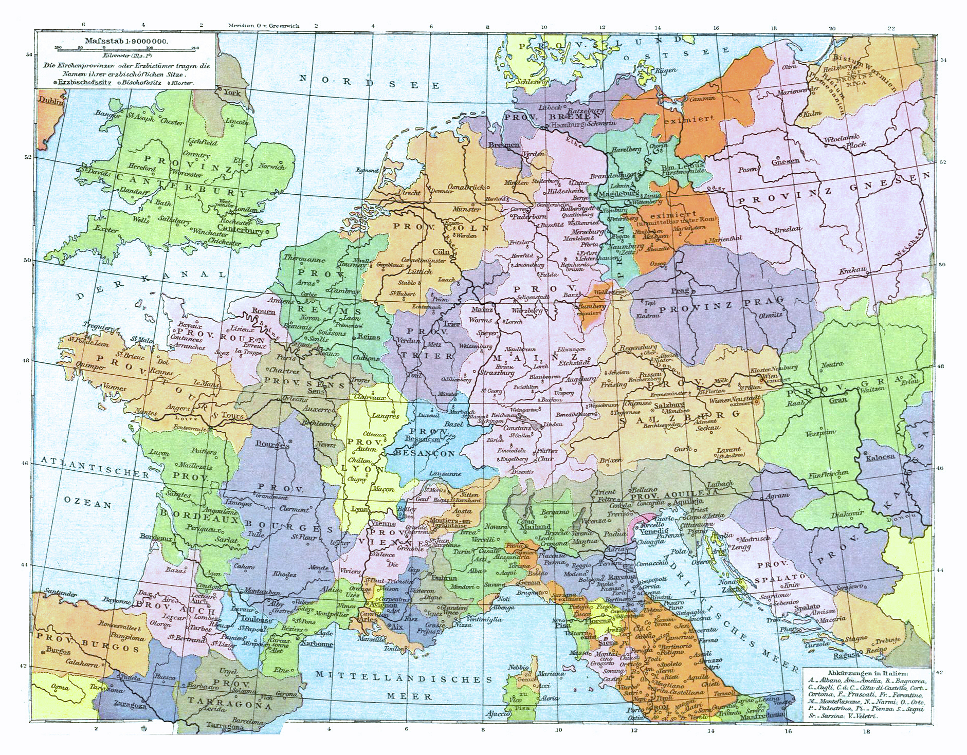
Image: C. 1500 Europe Ecclesiastical
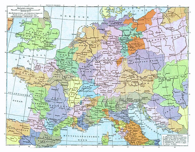
Size of this preview: 768 × 600 pixels. Other resolutions: 307 × 240 pixels | 1,881 × 1,469 pixels.
Original image (1,881 × 1,469 pixels, file size: 2.05 MB, MIME type: image/jpeg)
Description: Ecclesiastical map of Europe circa 1500 CE
Title: C. 1500 Europe Ecclesiastical
Credit: Digitally-enhanced derivative of a public domain map by Prof. Gustav Droysen (1838-1908), Professor of History at Martin-Luther-Universität in Halle-Wittenburg, Germany, published in "Allgemeiner Historischer Handatlas" under the direction of Dr. Richard Andree (Velhagen & Klasing, Bielefeld and Leipzig 1886); original atlas available from Mecklenburg-Vorpommern Digitale Bibliothek: https://www.digitale-bibliothek-mv.de/viewer/index/
Author: Gustav Droysen
Usage Terms: Public domain
License: Public domain
Attribution Required?: No
Image usage
The following page links to this image:

All content from Kiddle encyclopedia articles (including the article images and facts) can be freely used under Attribution-ShareAlike license, unless stated otherwise.