
Image: CairnsQueensland
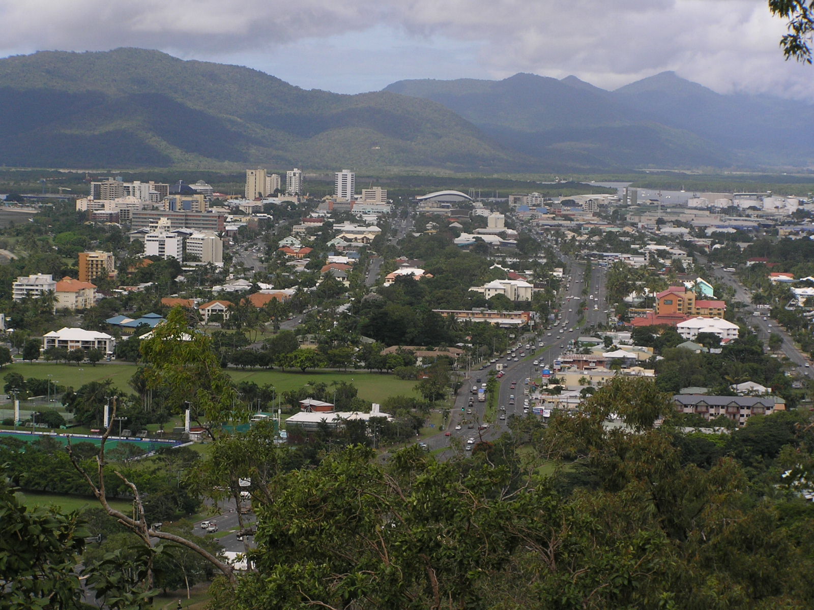
Description: Central Cairns from Mt Whitfield looking east. Sheridan Street, the main street running east-west becomes the Captain Cook Highway leading to Port Douglas. The chemical storage tanks seen in the top right are in the suburb of Portsmith. The tall buildings to the left are mainly hotels, located in the central business district. The building with the curved roof roughly in the centre of the picture is the Cairns Convention Centre.
Title: CairnsQueensland
Credit: Transferred from en.wikipedia to Commons by HJK212.
Author: The original uploader was Adz at English Wikipedia
Usage Terms: Creative Commons Attribution-Share Alike 3.0
License: CC-BY-SA-3.0
License Link: http://creativecommons.org/licenses/by-sa/3.0/
Attribution Required?: Yes
Image usage
There are no pages that link to this image.
