
Image: Calaisis 1360 map-fr
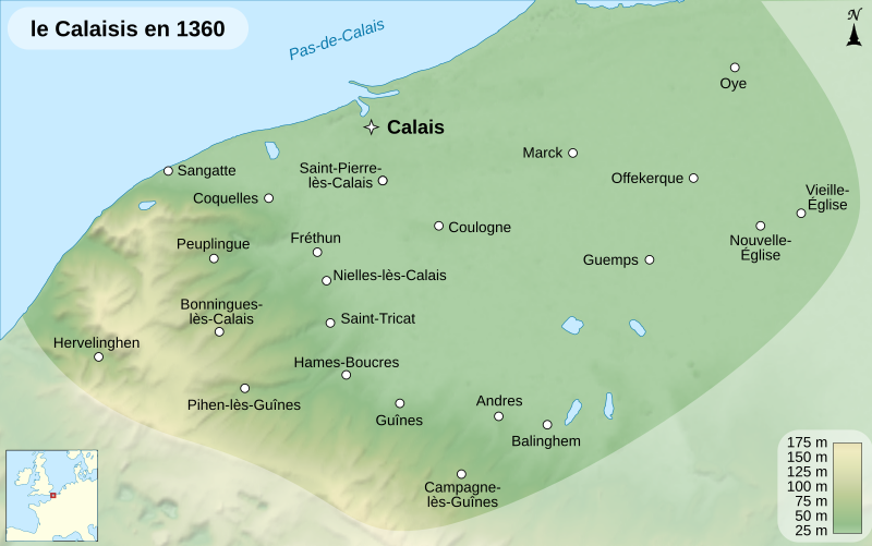
Description: Map of the Pale of Calais, around the year 1360.
Title: Calaisis 1360 map-fr
Credit: Travail personnel (own work). Sources : Background map: data from NASA Shuttle Radar Topography Mission (SRTM3 v.2 & SWDB) (public domain) Villages from Calaisis wikipedia-fr article, under licence GFDL. Locator map made from Blank_map_of_Europe_-_Atelier_graphique_colors.svg created by Historicair under GFDL & CC-BY-SA-2.5 Other things (scale, windrose, ...) from Image:Maps template-fr.svg by Sting.Softwares used: NASA datas edited with 3DEM and Global Mapper 9 (limited version) by the United States Geological Survey (USGS) Vectorized with Inkscape Cartographic tutorials (in french)Others: Shaded relief (light direction): altitude 60°, azimuth 315° Font: Arial The background map is a raster image embedded in the SVG file.
Author: Sémhur
Usage Terms: Creative Commons Attribution-Share Alike 4.0
License: CC BY-SA 4.0
License Link: https://creativecommons.org/licenses/by-sa/4.0
Attribution Required?: Yes
Image usage
The following page links to this image:
