
Image: Canada Prairie provinces map

Size of this PNG preview of this SVG file: 619 × 600 pixels. Other resolution: 248 × 240 pixels.
Original image (SVG file, nominally 1,304 × 1,263 pixels, file size: 94 KB)
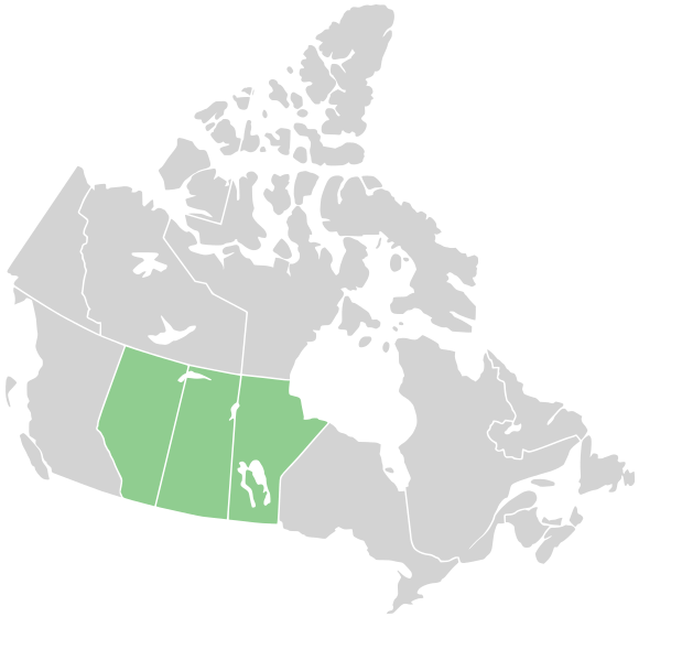
Description: Map of the Prairie provinces in central Canada. The northern reach or the Great Plains of North America are found in these provinces.
Title: Canada Prairie provinces map
Credit: This file was derived from: Canada blank map.svg
Author: User:Derfel73; User:Lokal_Profil
Usage Terms: Creative Commons Attribution-Share Alike 3.0
License: CC BY-SA 3.0
License Link: http://creativecommons.org/licenses/by-sa/3.0
Attribution Required?: Yes
Image usage
There are no pages that link to this image.

All content from Kiddle encyclopedia articles (including the article images and facts) can be freely used under Attribution-ShareAlike license, unless stated otherwise.