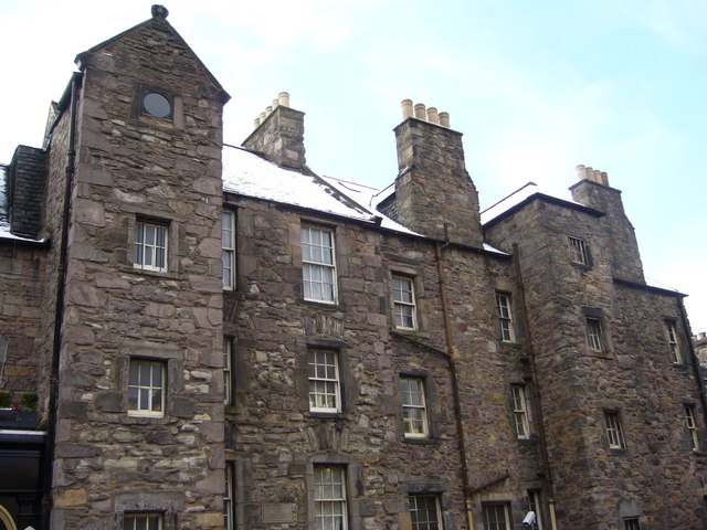
Image: Candlemakers Hall, Candlemakers Row - geograph.org.uk - 1629032
Description: Candlemakers Hall, 36 Candlemakers Row. An early 18thC tenement built with coursed rubble, incorporating the guildhall of the chandlers, which appears on Edgar's 1742 map of Edinburgh. It stood outside the city boundary in what was considered a safe location for a hazardous occupation. The frontage has been either rebuilt or refaced when the block was restored in 1929. The rear forms part of the eastern boundary of Greyfriars Kirkyard. The building is now used to prepare meals for the homeless and destitute in this part of Edinburgh. 1629038
Title: Candlemakers Hall, Candlemakers Row - geograph.org.uk - 1629032
Credit: From geograph.org.uk
Author: kim traynor
Usage Terms: Creative Commons Attribution-Share Alike 2.0
License: CC BY-SA 2.0
License Link: https://creativecommons.org/licenses/by-sa/2.0
Attribution Required?: Yes
Image usage
The following page links to this image:


