
Image: Canso causeway Port Hawkesbury (41321647292)

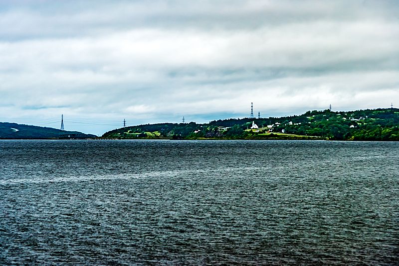
Description: The Canso Causeway (Cabhsair Chanso in Gaelic)Coordinates: 45°38â²38â³N 61°25â²11â³W is a 1,385 m (4,544 ft) rock-fill causeway in Nova Scotia, Canada. The causeway crosses the Strait of Canso, connecting Cape Breton Island by road to the Nova Scotia peninsula. Its crest thickness is 40 m (130 ft), carrying the two vehicle traffic lanes of the Trans-Canada Highway, Nova Scotia Highway 104 on the mainland side, and Nova Scotia Highway 105 on the Cape Breton side, as well as the single track mainline of the Cape Breton and Central Nova Scotia Railway.
Title: Canso causeway Port Hawkesbury (41321647292)
Credit: Canso causeway Port Hawkesbury
Author: Michel Rathwell from Cornwall, Canada
Usage Terms: Creative Commons Attribution 2.0
License: CC BY 2.0
License Link: https://creativecommons.org/licenses/by/2.0
Attribution Required?: Yes
Image usage
There are no pages that link to this image.

.jpg)