
Image: Carlton Vale, NW6 - geograph.org.uk - 215893
No higher resolution available.
Carlton_Vale,_NW6_-_geograph.org.uk_-_215893.jpg (640 × 480 pixels, file size: 116 KB, MIME type: image/jpeg)
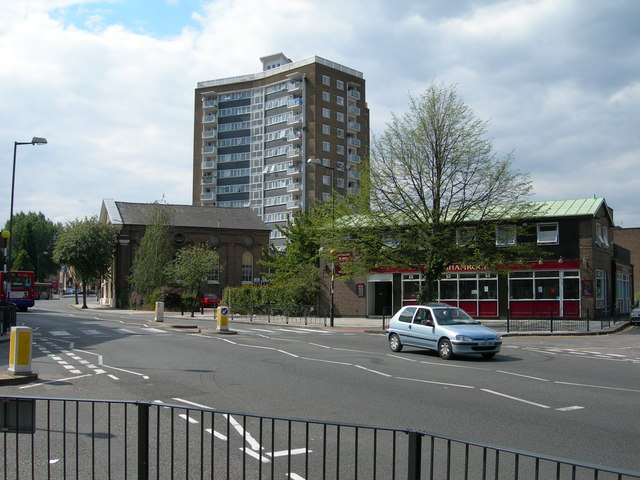
Description: Carlton Vale, London, NW6. Looking towards Queen's Park Station (not in view). Taken at the junction of Malvern Road. On the left is West Kilburn Baptist Church. On the right is The Shamrock public house at 88 Carlton Vale reflecting the fact that this area of London is home to many Irish - as in "the crack was good in Cricklewood".
Title: Carlton Vale, NW6 - geograph.org.uk - 215893
Credit: From geograph.org.uk
Author: Danny Robinson
Usage Terms: Creative Commons Attribution-Share Alike 2.0
License: CC BY-SA 2.0
License Link: https://creativecommons.org/licenses/by-sa/2.0
Attribution Required?: Yes
Image usage
The following page links to this image:

All content from Kiddle encyclopedia articles (including the article images and facts) can be freely used under Attribution-ShareAlike license, unless stated otherwise.