
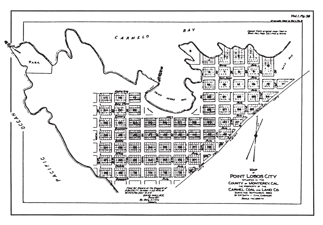
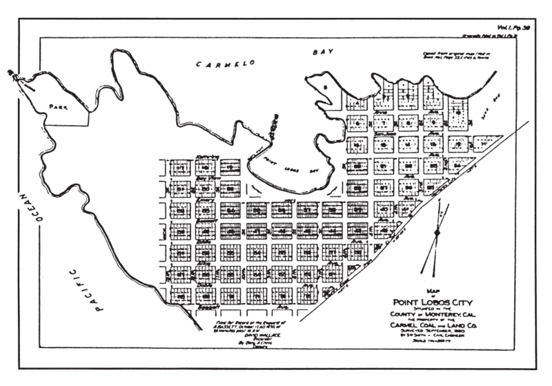
Image: Carmelito plot map 1890
Size of this preview: 800 × 559 pixels. Other resolutions: 320 × 223 pixels | 1,081 × 755 pixels.
Original image (1,081 × 755 pixels, file size: 313 KB, MIME type: image/png)
Description: Plot map of planned Point Lobos City, September 1890
Title: Carmelito plot map 1890
Credit: Whaler's Cabin Point Lobos
Author: Carmel Coal and Land Company
Usage Terms: Public domain
License: Public domain
Attribution Required?: No
Image usage
The following 2 pages link to this image:

All content from Kiddle encyclopedia articles (including the article images and facts) can be freely used under Attribution-ShareAlike license, unless stated otherwise.