
Image: CartaMarina (B)
Size of this preview: 800 × 450 pixels. Other resolutions: 320 × 180 pixels | 1,920 × 1,080 pixels.
Original image (1,920 × 1,080 pixels, file size: 693 KB, MIME type: image/png)
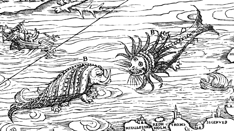
Description: The Carta marina (Latin "map of the sea" or "sea map"), drawn by Olaus Magnus in 1527-39, is the earliest map of the Nordic countries that gives details and place name
Usage Terms: Public domain
Image usage
The following page links to this image:

All content from Kiddle encyclopedia articles (including the article images and facts) can be freely used under Attribution-ShareAlike license, unless stated otherwise.
.png)