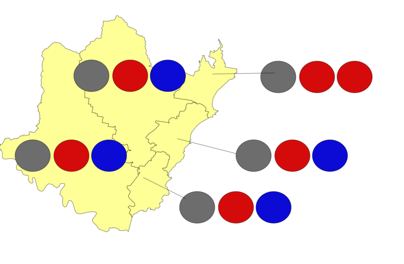
Image: Central Coast wards map

Size of this PNG preview of this SVG file: 800 × 523 pixels. Other resolution: 320 × 209 pixels.
Original image (SVG file, nominally 1,719 × 1,124 pixels, file size: 91 KB)
Description: A map showing the five wards of the Central Coast Council, a local government area (LGA) on the Central Coast, with circles showing the number of seats held by each party in each ward (red is Labor, blue is Liberal and grey is independents). The five wards are: Budgewoi, Gosford East, Gosford West, The Entrance and Wyong.
Title: Central Coast wards map
Credit: Own work
Author: QLDer in NSW
Usage Terms: Creative Commons Attribution-Share Alike 4.0
License: CC BY-SA 4.0
License Link: https://creativecommons.org/licenses/by-sa/4.0
Attribution Required?: Yes
Image usage
The following page links to this image:

All content from Kiddle encyclopedia articles (including the article images and facts) can be freely used under Attribution-ShareAlike license, unless stated otherwise.
