
Image: Chalk pit, Caistor St Edmund (aerial) - geograph.org.uk - 40516
No higher resolution available.
Chalk_pit,_Caistor_St_Edmund_(aerial)_-_geograph.org.uk_-_40516.jpg (640 × 479 pixels, file size: 60 KB, MIME type: image/jpeg)
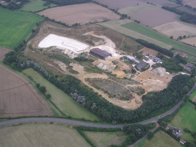
Description: Chalk pit, Caistor St Edmund (aerial) Taken from 1,000ft from approximately TG235053 (so looking SE). The Boudica's Way footpath skirts the pit's perimeter, on a diversion from its original (straight) course NNW from the centre of TG2404.
Title: Chalk pit, Caistor St Edmund (aerial) - geograph.org.uk - 40516
Credit: From geograph.org.uk
Author: Katy Walters
Usage Terms: Creative Commons Attribution-Share Alike 2.0
License: CC BY-SA 2.0
License Link: https://creativecommons.org/licenses/by-sa/2.0
Attribution Required?: Yes
Image usage
The following page links to this image:

All content from Kiddle encyclopedia articles (including the article images and facts) can be freely used under Attribution-ShareAlike license, unless stated otherwise.
_-_geograph.org.uk_-_40516.jpg)