
Image: Charlestownmap
Size of this preview: 800 × 528 pixels. Other resolutions: 320 × 211 pixels | 1,299 × 857 pixels.
Original image (1,299 × 857 pixels, file size: 167 KB, MIME type: image/jpeg)
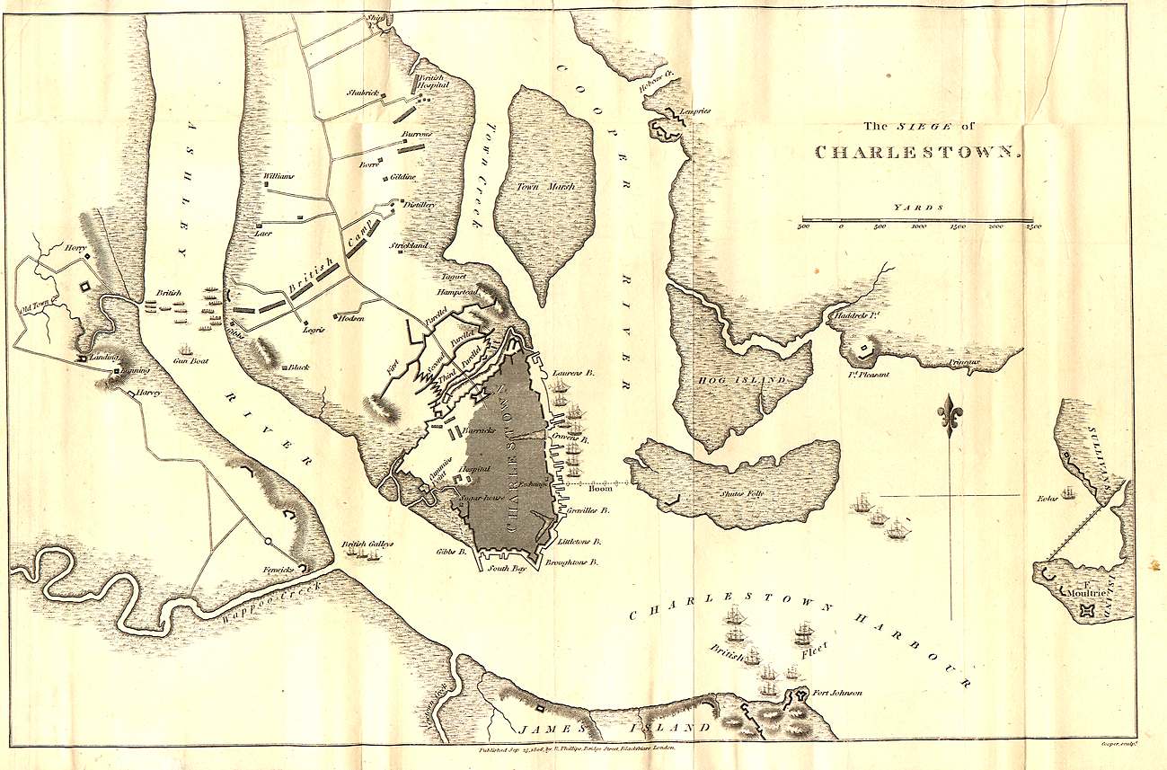
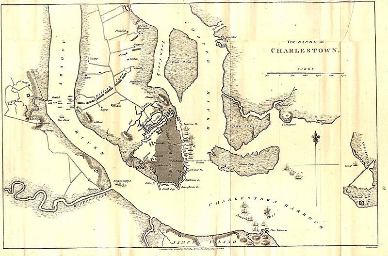
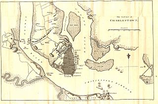
Description: A map of Charleston detailing the British siege in 1780.
Title: Charlestownmap
Credit: http://www.earlyamerica.com/earlyamerica/maps/charlestownmap/charlestownmap.jpeg
Author: See above
Usage Terms: Public domain
License: Public domain
Attribution Required?: No
Image usage
The following 2 pages link to this image:

All content from Kiddle encyclopedia articles (including the article images and facts) can be freely used under Attribution-ShareAlike license, unless stated otherwise.