
Image: Chippewa National Forest - Social - 2

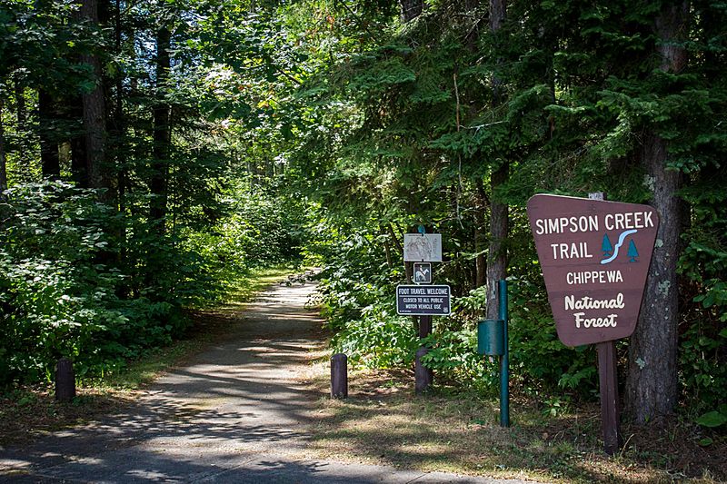
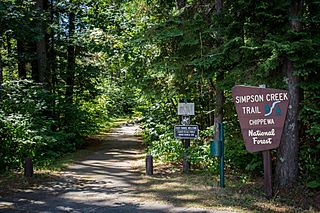
Description: The Simpson Creek Trail system winds through towering pines, around a great walleye fishing lake, and into the rich history of the Cut Foot Sioux area. Simpson Creek is located on State Highway 46, about 17 miles northwest of Deer River, Minnesota. Access onto the trail can be gained at the Cut Foot Sioux Visitor Center off Highway 46; and off Eagle Nest Road (FR 2198), approximately 1/2 mile from crossing the bridge on that road; and near East Seelye Point.
Title: Chippewa National Forest - Social - 2
Credit: https://www.facebook.com/ChippewaNF/photos/a.670934996336374.1073741828.670927213003819/1384973181599215/?type=3&theater
Author: Chippewa National Forest U.S. Forest Service
Usage Terms: Public domain
License: Public domain
Attribution Required?: No
Image usage
The following page links to this image:
