
Image: Cl-triconti
Size of this preview: 441 × 599 pixels. Other resolutions: 177 × 240 pixels | 1,673 × 2,273 pixels.
Original image (1,673 × 2,273 pixels, file size: 1.76 MB, MIME type: image/png)
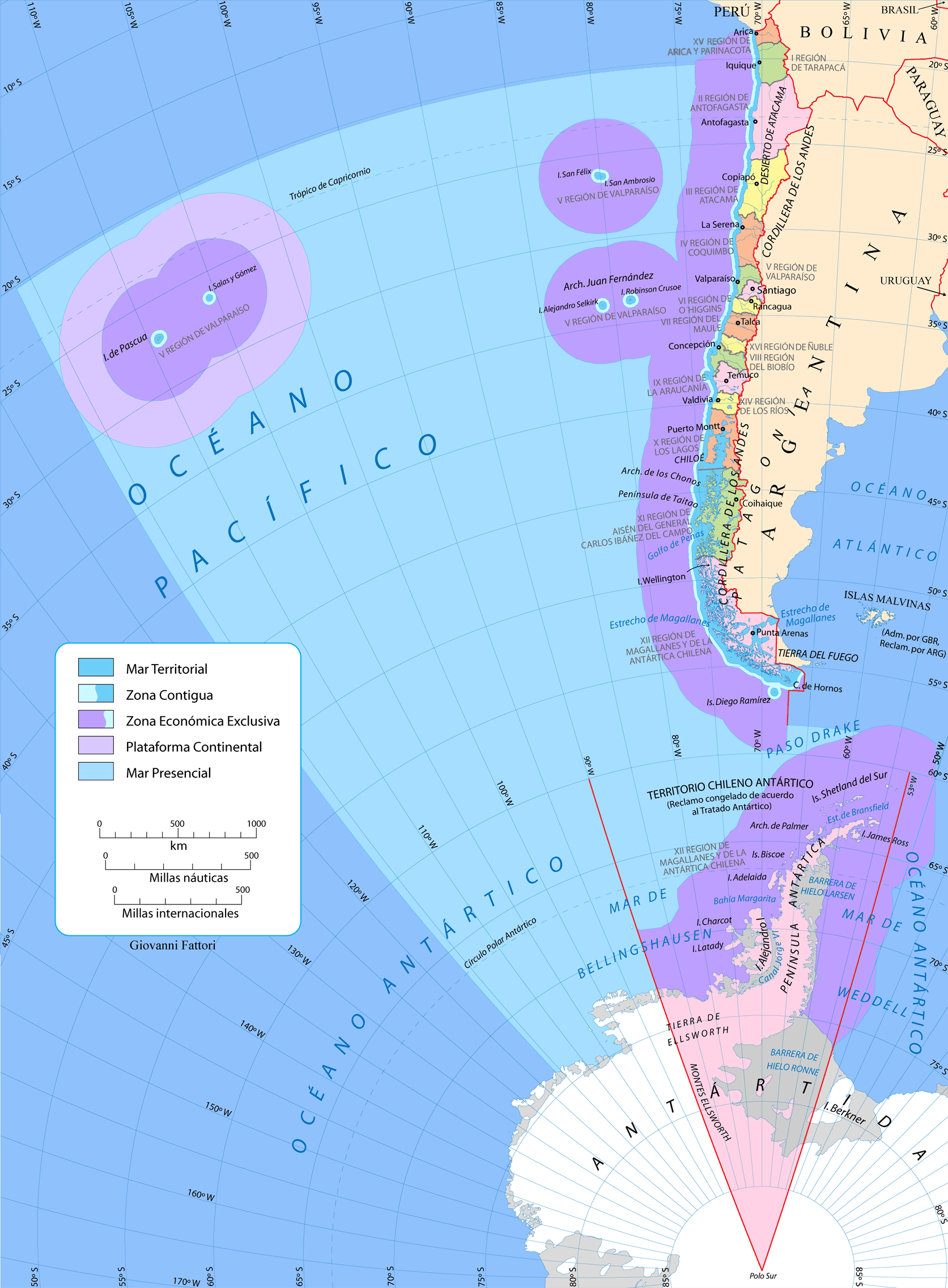
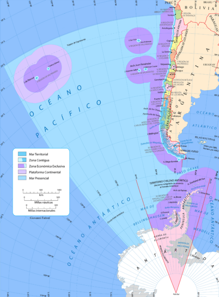
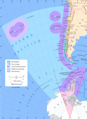
Description: Mapa de Chile Tricontinental. Visión nacional que incluye el Territorio Chileno Antártico y las islas de Oceanía (Pascua y Salas y Gómez). Muestra las zonas marítimas, incluyendo el mar Presencial. Proyección azimutal equiárea centrada en lat -53.75 lon -70
Title: Cl-triconti
Credit: Own work
Author: Gi
Usage Terms: Public domain
License: Public domain
Attribution Required?: No
Image usage
The following page links to this image:

All content from Kiddle encyclopedia articles (including the article images and facts) can be freely used under Attribution-ShareAlike license, unless stated otherwise.