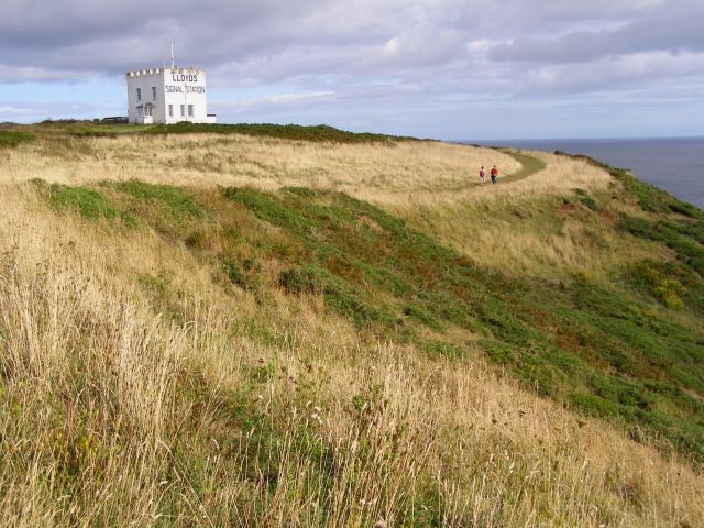
Image: Coast path around Bass Point - geograph.org.uk - 229711
Coast_path_around_Bass_Point_-_geograph.org.uk_-_229711.jpg (640 × 480 pixels, file size: 97 KB, MIME type: image/jpeg)
Description: Coast path around Bass Point. The building of Lloyd's signal station dominates this headland, the coast path winds its way around the point. The hottentot fig plant is invading the cliffs here, although I'm not sure if you can see it clearly in this photo.
Title: Coast path around Bass Point - geograph.org.uk - 229711
Credit: From geograph.org.uk
Author: Jim Champion
Usage Terms: Creative Commons Attribution-Share Alike 2.0
License: CC BY-SA 2.0
License Link: https://creativecommons.org/licenses/by-sa/2.0
Attribution Required?: Yes
Image usage
The following page links to this image:

All content from Kiddle encyclopedia articles (including the article images and facts) can be freely used under Attribution-ShareAlike license, unless stated otherwise.

