
Image: Colonial Lake map
No higher resolution available.
Colonial_Lake_map.PNG (734 × 500 pixels, file size: 772 KB, MIME type: image/png)
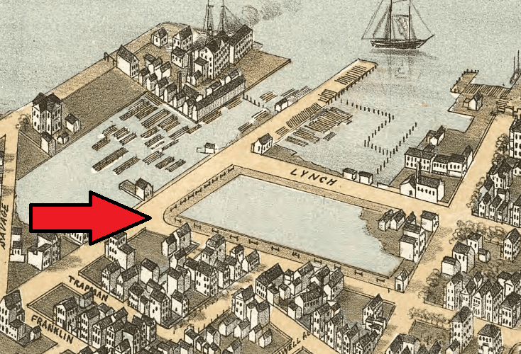
Description: By 1872, when the Bird's Eye View Map of Charleston was drawn, Ashley Ave. (then known as Lynch St.) had been completed, forming the western edge of Colonial Lake.
Title: Colonial Lake map
Credit: Bird's Eye View Map of Charleston - 1872
Author: C.N. Drie
Usage Terms: Public domain
License: Public domain
Attribution Required?: No
Image usage
The following page links to this image:

All content from Kiddle encyclopedia articles (including the article images and facts) can be freely used under Attribution-ShareAlike license, unless stated otherwise.