
Image: Coral Sea map

Size of this preview: 600 × 600 pixels. Other resolutions: 240 × 240 pixels | 2,000 × 2,000 pixels.
Original image (2,000 × 2,000 pixels, file size: 175 KB, MIME type: image/png)
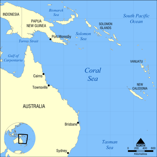
Description: Map showing the location of the Coral Sea, bounded by Australia, Papua New Guinea, Solomon Islands, Vanuatu, and New Caledonia. Nearby bodies of water include the Tasman Sea, Solomon Sea, and South Pacific Ocean.
Title: Coral Sea map
Credit: Own work
Author: NormanEinstein
Usage Terms: Creative Commons Attribution-Share Alike 3.0
License: CC BY-SA 3.0
License Link: http://creativecommons.org/licenses/by-sa/3.0
Attribution Required?: Yes
Image usage
The following 3 pages link to this image:

All content from Kiddle encyclopedia articles (including the article images and facts) can be freely used under Attribution-ShareAlike license, unless stated otherwise.