Image: Cranford Park - geograph.org.uk - 1219761
Cranford_Park_-_geograph.org.uk_-_1219761.jpg (640 × 445 pixels, file size: 143 KB, MIME type: image/jpeg)
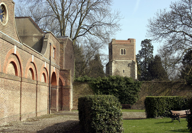
Description: Cranford Park All that remains of Cranford Park is the former stable block seen on the left, the house itself having been demolished in 1945. The tower of St Dunstan can be seen behind the wall.
Title: Cranford Park - geograph.org.uk - 1219761
Credit: From geograph.org.uk
Author: David Kemp
Usage Terms: Creative Commons Attribution-Share Alike 2.0
License: CC BY-SA 2.0
License Link: https://creativecommons.org/licenses/by-sa/2.0
Attribution Required?: Yes
Image usage
The following page links to this image:

All content from Kiddle encyclopedia articles (including the article images and facts) can be freely used under Attribution-ShareAlike license, unless stated otherwise.

