
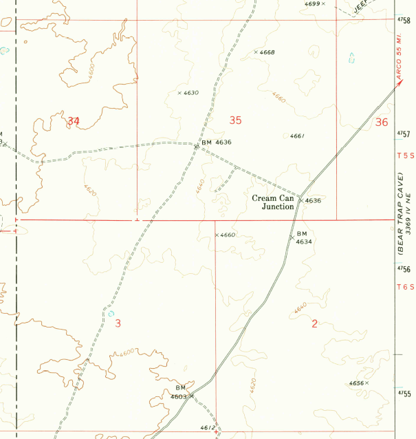
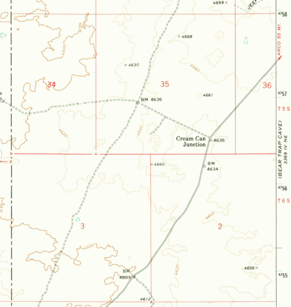
Image: Cream Can Junction Idaho
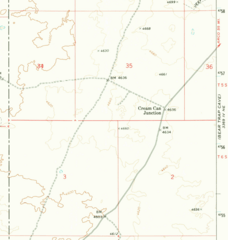
Size of this preview: 568 × 599 pixels. Other resolutions: 228 × 240 pixels | 605 × 638 pixels.
Original image (605 × 638 pixels, file size: 179 KB, MIME type: image/png)
Description: Detail of 1972 USGS map - Brigham Point Quadrangle 7.5 minute series, showing the location of Cream Can Junction, Idaho
Title: Cream Can Junction Idaho
Credit: USGS
Author: USGS
Usage Terms: Public domain
License: Public domain
Attribution Required?: No
Image usage
The following page links to this image:

All content from Kiddle encyclopedia articles (including the article images and facts) can be freely used under Attribution-ShareAlike license, unless stated otherwise.