
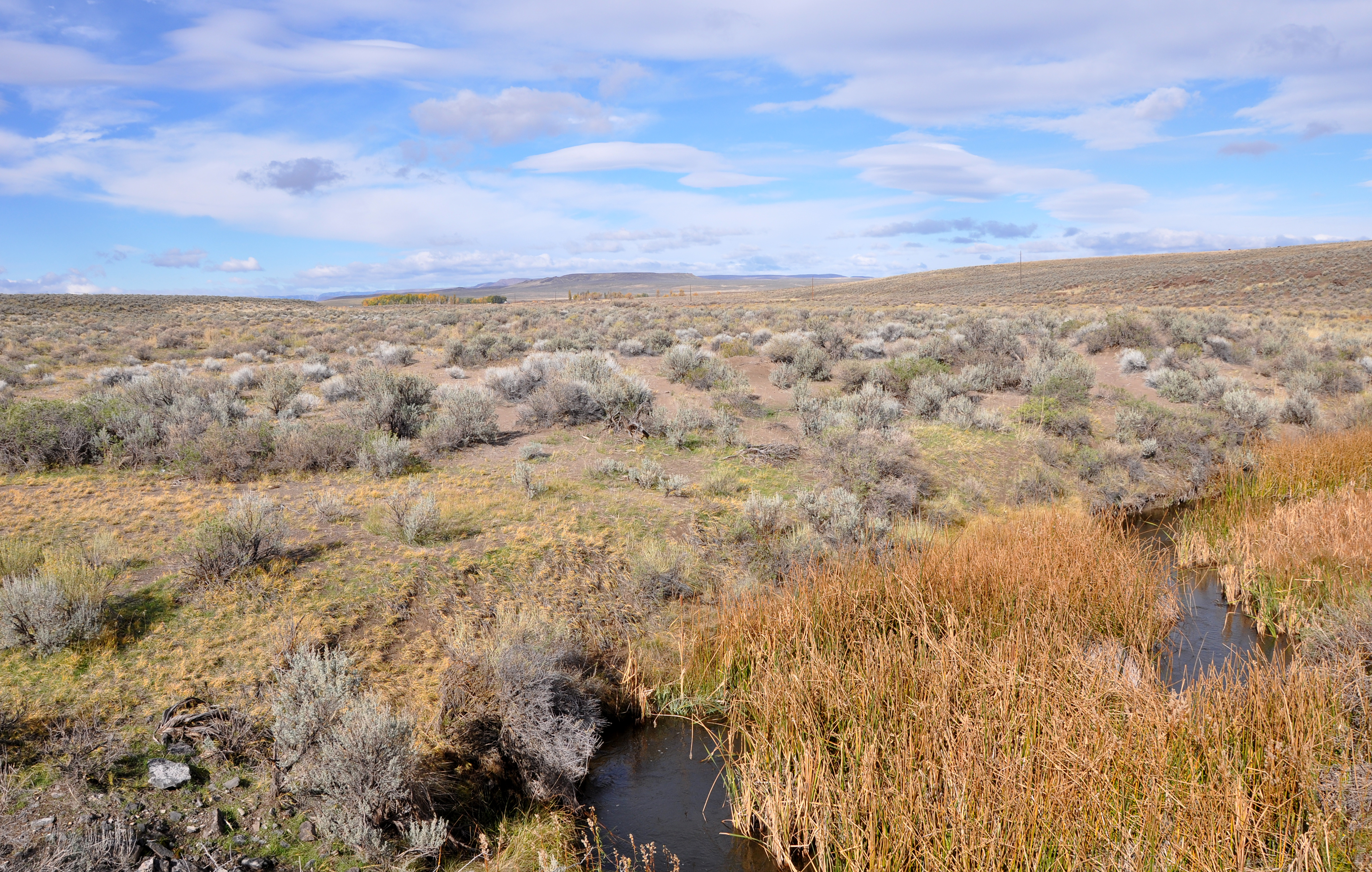
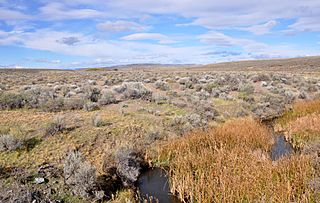
Image: Crooked creek near burns junction
Size of this preview: 800 × 508 pixels. Other resolutions: 320 × 203 pixels | 4,131 × 2,624 pixels.
Original image (4,131 × 2,624 pixels, file size: 8.48 MB, MIME type: image/jpeg)
Description: Crooked Creek and the sagebrush steppe of the Great Basin region of Oregon. The creek flows through the High Desert of southeastern Oregon. View is to the west from a bridge carrying U.S. Route 95 over the creek, south of Burns Junction in Malheur County.
Title: Crooked creek near burns junction
Credit: Own work
Author: Finetooth
Usage Terms: Creative Commons Attribution-Share Alike 3.0
License: CC BY-SA 3.0
License Link: https://creativecommons.org/licenses/by-sa/3.0
Attribution Required?: Yes
Image usage
The following page links to this image:

All content from Kiddle encyclopedia articles (including the article images and facts) can be freely used under Attribution-ShareAlike license, unless stated otherwise.