
Image: Cyclades Mill
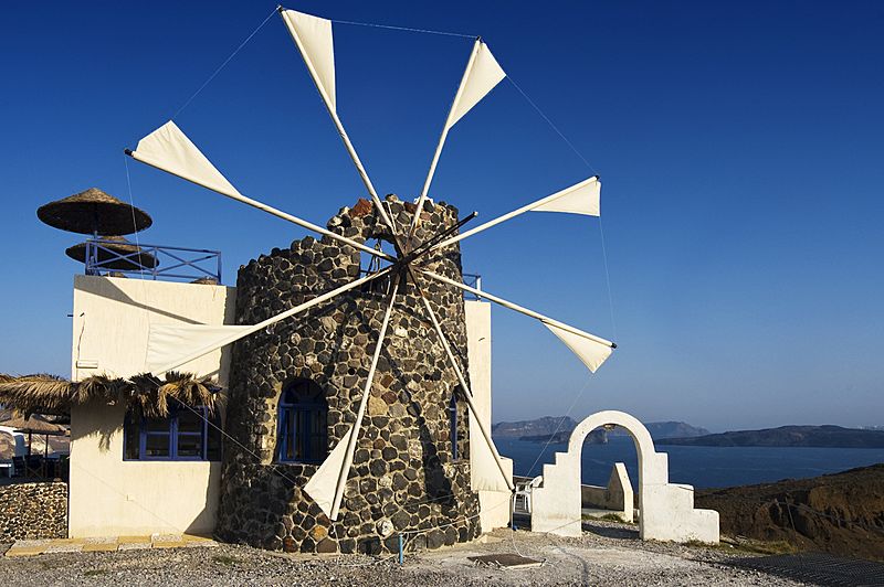
Description: Klick <a href="http://flickr.com/photo_zoom.gne?id=1335657925&size=l"> here </a> for a large view! The Cyclades are a Greek island group in the Aegean Sea, south-east of the mainland of Greece; and an administrative prefecture of Greece. They are one of the island groups which constitute the Aegean archipelago. The name refers to the islands around (??????) the sacred island of Delos. The Cyclades comprise about 220 islands, the major ones being Amorgos, Anafi, Ándros, Antiparos, Delos, Ios, Kéa, Kimolos, Kythnos, Mílos, Mykonos, Náxos, Páros, Folegandros, Serifos, Sifnos, Sikinos, Síros, Tínos, and Santorini. Most of the smaller islands are uninhabited. Ermoupolis, on Síros, is the chief town and administrative center of the prefecture The islands are peaks of a submerged mountainous terrain, with the exception of two volcanic islands, Milos and Santorini (Thera). The climate is generally dry and mild, but with the exception of Naxos the soil is not very fertile: agricultural produce includes wine, fruit, wheat, olive oil, and tobacco. Cooler temperatures are in higher elevations and mainly do not receive wintry weather. In transportation, the Cyclades is the only prefecture in Greece that is not linked with a state-maintained highway or a highway number. All of the roads in the island complex are secondary or provincial. From Wikipedia, the free encyclopedia
Title: Cyclades Mill
Credit: Cyclades Mill
Author: Wolfgang Staudt from Saarbruecken, Germany
Usage Terms: Creative Commons Attribution 2.0
License: CC BY 2.0
License Link: http://creativecommons.org/licenses/by/2.0
Attribution Required?: Yes
Image usage
There are no pages that link to this image.
