Image: Damão, Dadra, Nagar Haveli

Size of this preview: 595 × 600 pixels. Other resolutions: 238 × 240 pixels | 1,320 × 1,331 pixels.
Original image (1,320 × 1,331 pixels, file size: 2.85 MB, MIME type: image/png)
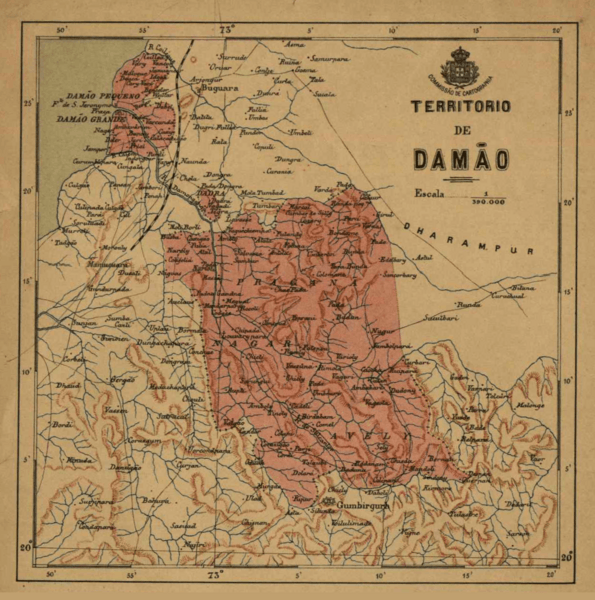
Description: Map of the Territory of Damão (now Daman) which was one of the three territories of Portuguese India along with Goa and Diu. The exclaves of Dadra and Nagar Haveli were part of the Territory of Damão. The Portuguese royal coat of arms indicates that this map was published before the republican revolution of October 1910.
Title: Damão, Dadra, Nagar Haveli
Credit: Portuguese old map site
Author: Comissão de cartographia
Usage Terms: Public domain
License: Public domain
Attribution Required?: No
Image usage
The following 2 pages link to this image:

All content from Kiddle encyclopedia articles (including the article images and facts) can be freely used under Attribution-ShareAlike license, unless stated otherwise.
