
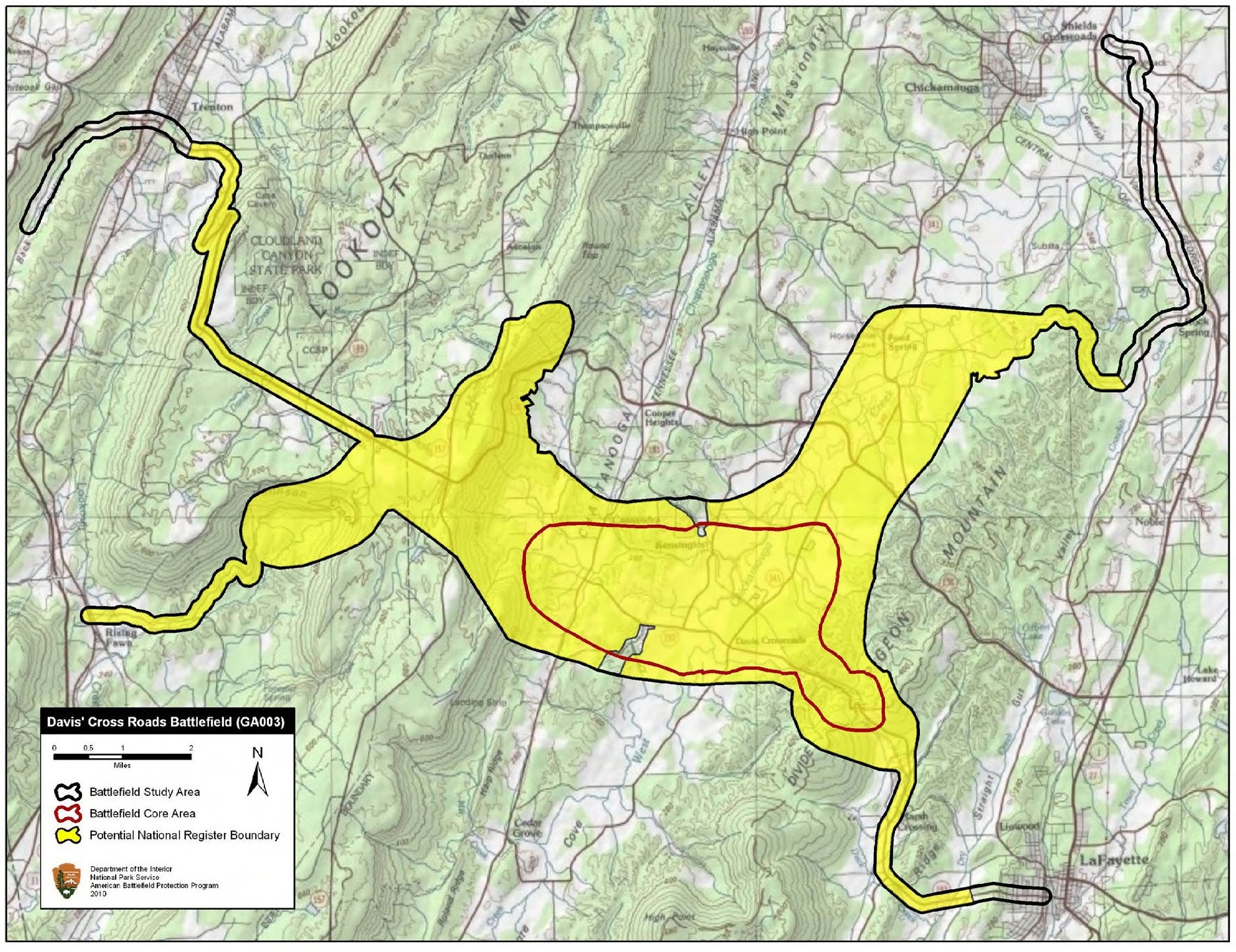
Image: Davis' Cross Roads Battlefield Georgia
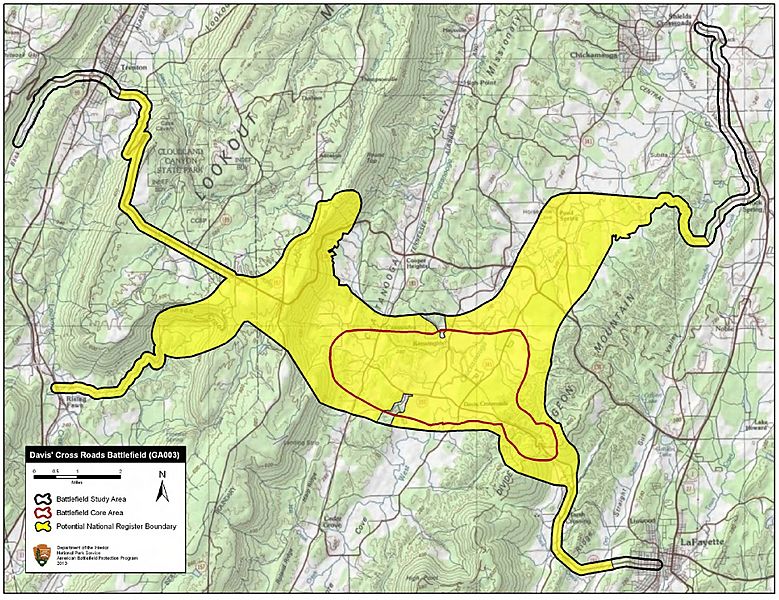
Size of this preview: 779 × 600 pixels. Other resolutions: 312 × 240 pixels | 1,870 × 1,440 pixels.
Original image (1,870 × 1,440 pixels, file size: 1,009 KB, MIME type: image/jpeg)
Description: Map of battlefield core and study areas. The 1993 Study Area boundary did not accurately reflect the Union advance or Confederate defense. The new boundary reflects the historic road network and terrain features. It also includes the locations of the Union advance through Johnson's Crook and the Confederate flanking maneuver from the northeast.
Title: Davis' Cross Roads Battlefield Georgia
Credit: National Park Service
Author: American Battlefield Protection Program
Usage Terms: Public domain
License: Public domain
Attribution Required?: No
Image usage
The following page links to this image:

All content from Kiddle encyclopedia articles (including the article images and facts) can be freely used under Attribution-ShareAlike license, unless stated otherwise.